Virga
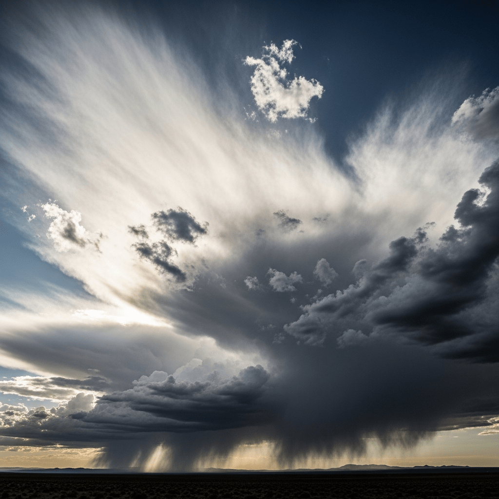
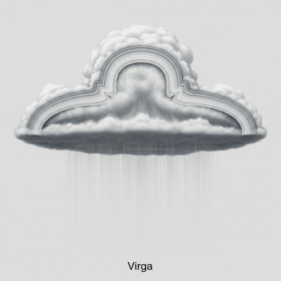
Virga is a striking atmospheric phenomenon where precipitation falls from a cloud but evaporates or sublimates before reaching the ground, creating wispy streaks or shafts beneath the parent cloud.
Virga is a striking atmospheric phenomenon where precipitation falls from a cloud but evaporates or sublimates before reaching the ground, creating wispy streaks or shafts beneath the parent cloud.
The term "virga" derives from Latin, meaning "branch" or "rod," inspired by its streak-like appearance. It was formally recognized in meteorology during the early 20th century and is classified as a supplementary cloud feature in the World Meteorological Organization's International Cloud Atlas.
Virga is not a cloud genus or species but a supplementary feature associated with various cloud types, especially precipitation-bearing clouds such as nimbostratus, cumulonimbus, altostratus, stratocumulus, and occasionally cirrus or altocumulus. It often appears as an accessory phenomenon beneath these parent clouds.
Visually, virga manifests as wispy, trailing filaments or streaks extending downward from a cloud base. These filaments are typically grayish or diffuse, often resembling curtains or shafts that can stretch from several hundred meters to kilometers below the cloud, creating a delicate, ephemeral veil.
Virga forms when precipitation falls into a dry or subsaturated air layer below the cloud, causing the droplets or ice crystals to evaporate or sublimate before reaching the surface. While it produces no surface precipitation, virga signals atmospheric moisture profiles and can indicate potential weather hazards like downdrafts and microbursts, which are critical for aviation safety.
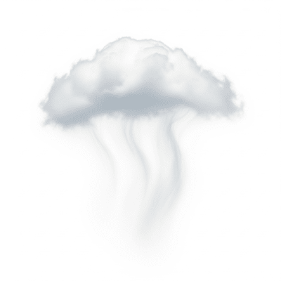
Bring this kind into your world � illustrated posters, mugs, and shirts.

Archival print, museum-grade paper
Buy Poster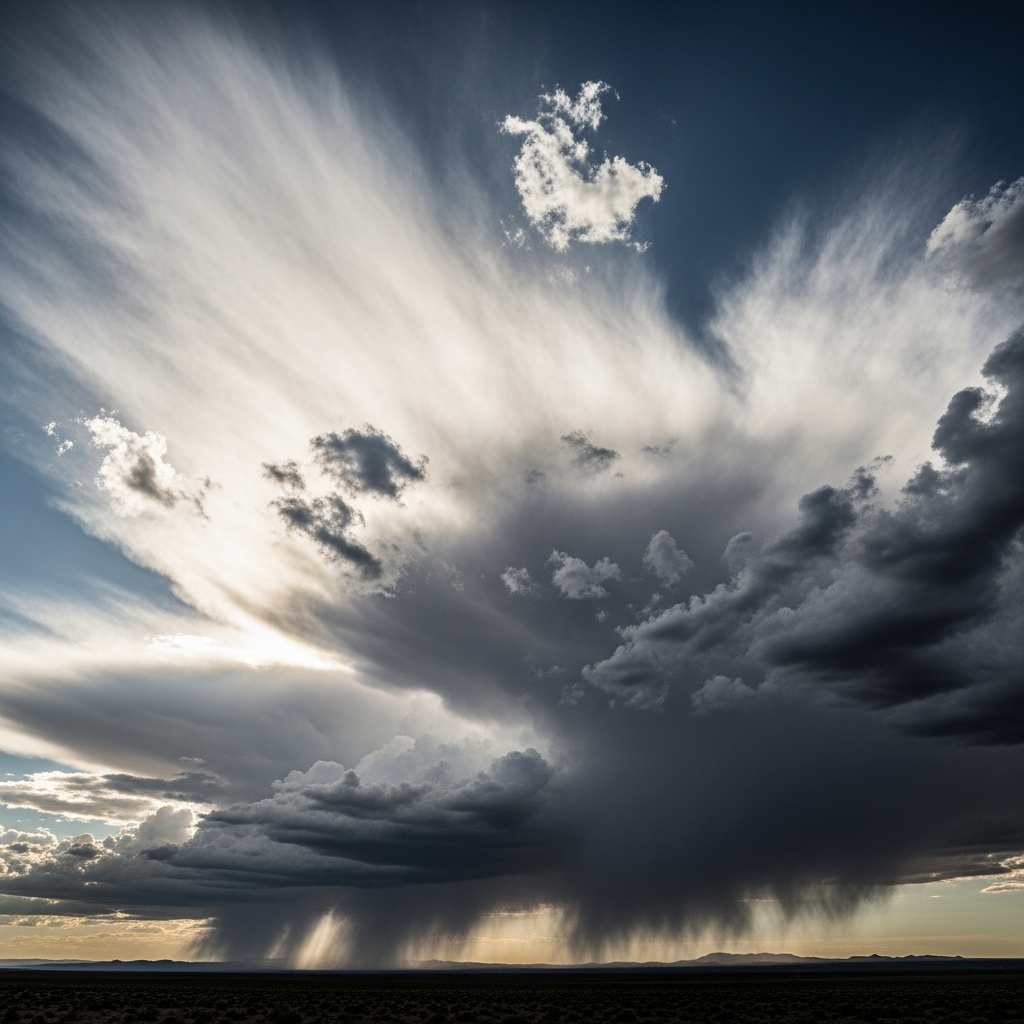
Stoneware mug, dishwasher safe
Buy Mug
Soft cotton tee, unisex sizes
Buy ShirtBeyond its meteorological importance, virga captivates photographers and weather enthusiasts for its dramatic and ethereal visual effect, especially over arid landscapes. Though not prominent in myth or traditional art, it enriches modern weather imagery and literature as a symbol of transient beauty in the sky.
Virga forms when precipitation generated within a cloud falls into a layer of dry or subsaturated air below. As the hydrometeors—whether raindrops, snowflakes, or ice crystals—descend, they encounter this dry air and evaporate (liquid phase) or sublimate (solid phase) before reaching the ground. This process creates the characteristic trailing streaks beneath the cloud, which persist as long as precipitation continues and the dry layer remains.
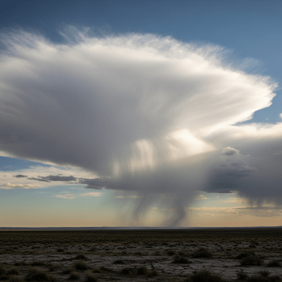
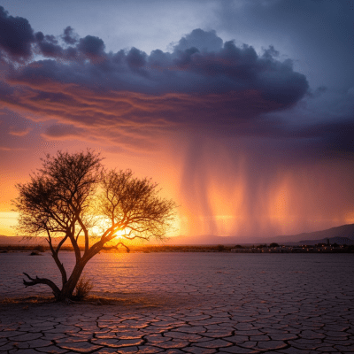
Virga occurs beneath clouds spanning a broad altitude range, typically from about 500 to 12,000 meters above ground level. It is most frequently observed under mid-level and low-level clouds such as altostratus, stratocumulus, and cumulonimbus. Geographically, virga is prevalent in arid and semi-arid regions worldwide, where dry air layers near the surface are common, but it can appear in diverse climates globally.
Though virga does not produce surface precipitation, it poses significant hazards by generating downdrafts, microbursts, and wind shear. These sudden and intense air movements can create turbulence and dangerous conditions for aircraft, particularly during approach and landing phases. Awareness of virga is thus critical for aviation safety and ground operations in affected areas.
Virga is primarily observed visually from the ground, identified by its distinctive streaks beneath clouds. Weather radar can detect precipitation aloft that does not reach the surface, helping infer virga presence. Additionally, lidar instruments and atmospheric soundings provide detailed profiles of humidity and precipitation layers, aiding in the study and monitoring of virga events.
Virga is challenging to detect directly in satellite imagery due to its thin, wispy nature and lack of surface precipitation. However, it may be inferred from radar reflectivity profiles showing precipitation within clouds but absent at the surface. Visible and infrared satellite sensors typically cannot distinguish virga explicitly, making ground-based and radar observations essential for accurate identification.