
Stratus
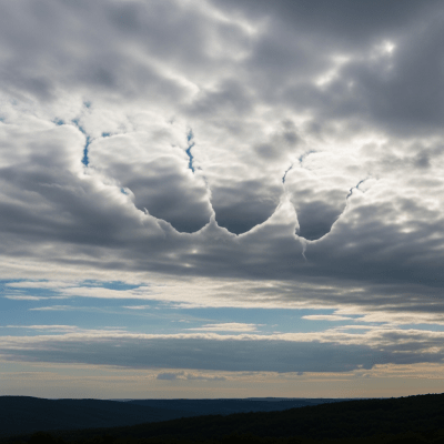
Stratus fractus is a low-level cloud species recognized by its ragged, fragmented, and irregular patches that often appear as wispy shreds beneath other cloud layers or during precipitation events.
Stratus fractus is a low-level cloud species recognized by its ragged, fragmented, and irregular patches that often appear as wispy shreds beneath other cloud layers or during precipitation events.
The name "stratus fractus" derives from Latin, with "stratus" meaning "spread out" and "fractus" meaning "broken" or "fragmented." This species was formally classified within the Stratus genus by the World Meteorological Organization, building on early 19th-century cloud taxonomy foundations laid by Luke Howard. Its recognition reflects evolving meteorological efforts to categorize cloud forms for operational and climatological use.
Stratus fractus belongs to the Stratus genus as a distinct species characterized by broken or fragmented cloud elements. It is classified as a low-level cloud, typically forming beneath or in association with other low clouds such as nimbostratus or stratocumulus. It is reported in aviation observations under codes like "ST FRA" or "STFRA."
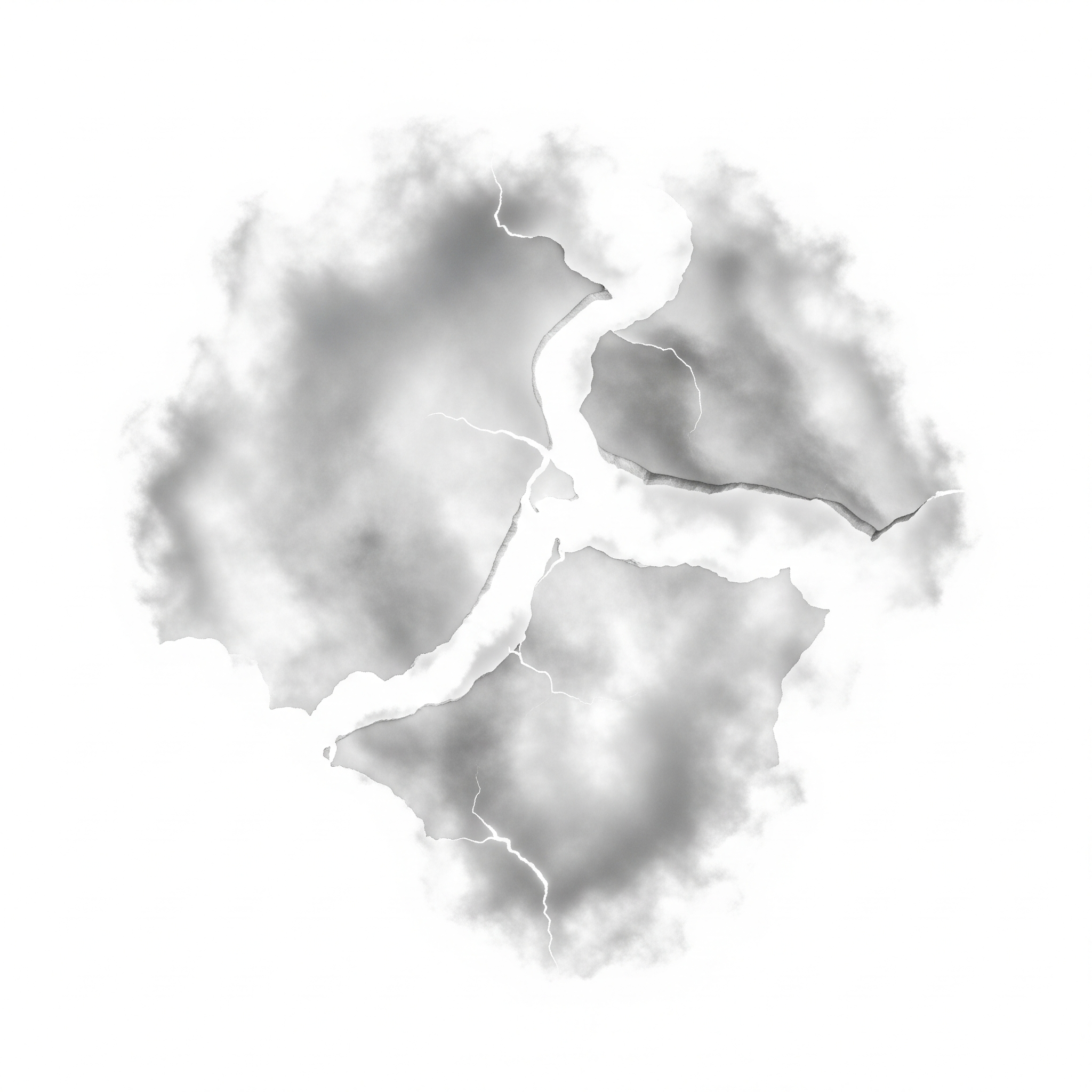
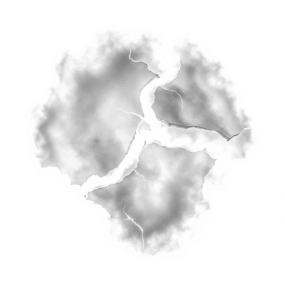
This cloud species appears as irregular, ragged shreds or patches with diffuse, wispy edges and variable opacity. Typically thin and gray, stratus fractus lacks vertical development and often looks shredded or broken, giving it a distinctive ragged texture against the sky.
Stratus fractus forms primarily through mechanical breakup of existing low clouds caused by turbulence, wind shear, or precipitation. It often appears beneath rain clouds as "scud," signaling turbulent or moist atmospheric conditions. While it does not produce precipitation itself, it serves as a visual indicator of unstable or changing weather and is closely monitored in aviation for its impact on visibility and ceiling.
Bring this kind into your world � illustrated posters, mugs, and shirts.
Archival print, museum-grade paper
Buy Poster
Stoneware mug, dishwasher safe
Buy Mug
Soft cotton tee, unisex sizes
Buy ShirtCommonly known as "scud" in informal contexts, stratus fractus features in weather photography and field guides as a hallmark of unsettled skies. Its ragged, broken appearance has made it a recognizable symbol of turbulent weather in popular meteorological culture, often evoking a sense of approaching storms or rain.
Stratus fractus forms chiefly through mechanical fragmentation of pre-existing low clouds such as stratus, nimbostratus, or stratocumulus. Turbulent airflows, wind shear, or precipitation-driven evaporation cause these clouds to break into irregular, ragged pieces. Additionally, mixing of moist and drier air masses near the surface can fragment cloud layers, producing the characteristic shredded appearance of stratus fractus.

Stratus fractus is a low-level cloud species, typically found from the surface up to about 2,000 meters (0–2 km). It occurs globally but is most common in temperate and polar regions, especially during unsettled weather or frontal passages where moisture and turbulence are prevalent.
Though stratus fractus itself does not produce precipitation, it can reduce surface visibility and lower cloud ceilings, posing challenges for aviation, particularly during approach and landing. Its presence often indicates turbulent or moist conditions that may obscure terrain or complicate flight operations. Pilots and meteorologists monitor it closely to ensure safety in low-ceiling environments.
Stratus fractus is commonly observed visually by meteorologists and aviators due to its distinctive ragged appearance. Ground-based instruments such as ceilometers help measure cloud base heights, while photography documents its morphology. Satellite imagery captures it as diffuse, low-reflectivity patches, though it can be difficult to distinguish from fog or other low clouds in remote sensing data.
In satellite imagery, stratus fractus appears as diffuse, low-reflectivity patches in visible bands. Its fragmented and thin nature makes it challenging to differentiate from fog or other low-level clouds. Infrared imagery typically shows it with relatively warm cloud-top temperatures consistent with low altitude, but its irregular shape and low optical thickness can complicate automated classification.