Stratus
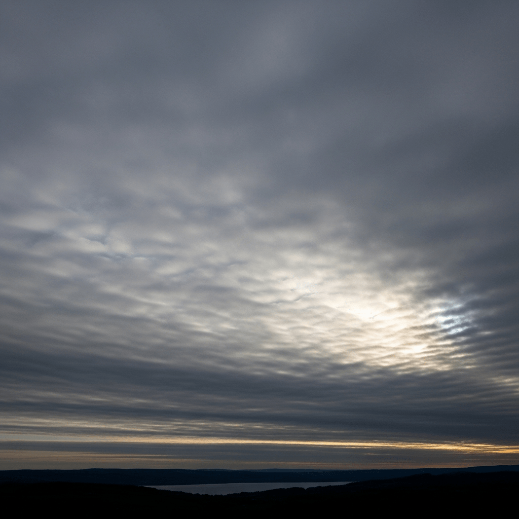
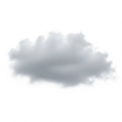
Stratus is a low-level cloud genus characterized by uniform, grayish layers that often cover the entire sky, creating overcast conditions with a featureless, sheet-like appearance.
Stratus is a low-level cloud genus characterized by uniform, grayish layers that often cover the entire sky, creating overcast conditions with a featureless, sheet-like appearance.
The name "stratus" comes from the Latin word meaning "spread out" or "layer," reflecting its broad, flat form. This term was introduced by Luke Howard in 1803 as part of his pioneering cloud classification system, which established the foundation for modern meteorological taxonomy. Since then, stratus has been recognized as a principal low-level cloud genus by the World Meteorological Organization.
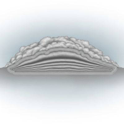
Stratus belongs to the low-level cloud family and is one of the ten principal cloud genera defined by the WMO. It includes species such as fractus (ragged fragments) and varieties like opacus (opaque) and nebulosus (featureless). It is distinct from other low clouds like stratocumulus by its uniform, structureless layering.
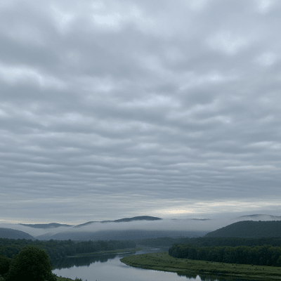
Stratus clouds appear as broad, uniform gray layers that can cover all or part of the sky. Their base is typically flat and low, often ranging from the surface up to about 600 meters, with tops reaching as high as 2,000 meters. They have a smooth, sheet-like texture with little visible structure, sometimes showing ragged edges especially when transitioning to fog or in the fractus species.
Stratus clouds form under stable atmospheric conditions and often signal overcast skies with minimal vertical development. They can produce light drizzle, mist, or fine rain, and are important indicators in weather forecasting. For aviation, stratus clouds frequently reduce visibility and ceiling height, influencing flight operations and requiring instrument flight rules in affected areas.
Bring this kind into your world � illustrated posters, mugs, and shirts.
Archival print, museum-grade paper
Buy Poster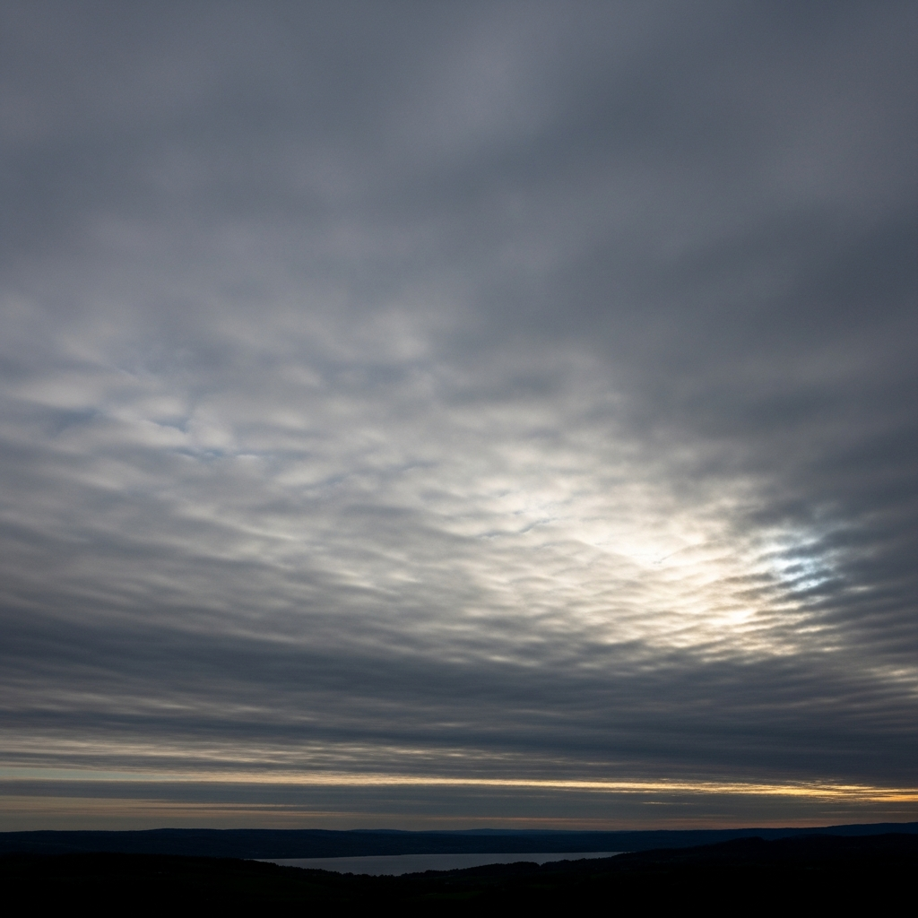
Stoneware mug, dishwasher safe
Buy Mug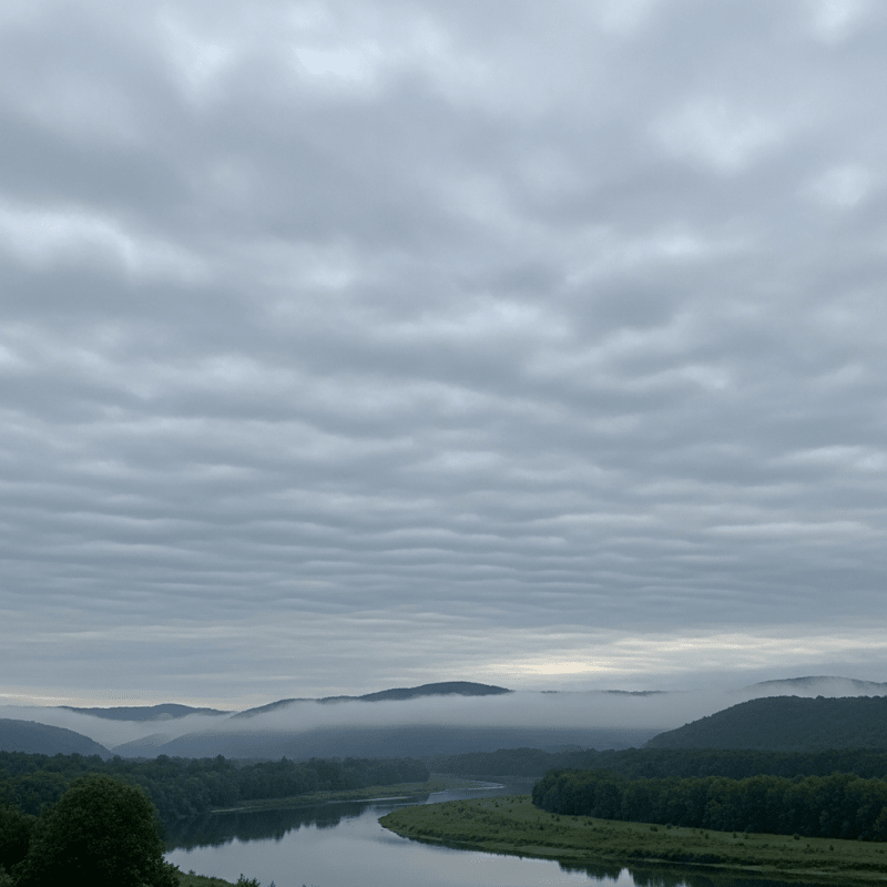
Soft cotton tee, unisex sizes
Buy ShirtStratus clouds are commonly associated with gloomy, overcast weather and often feature in art and literature as symbols of melancholy or dreariness. Their persistent gray layers evoke moods of calmness or introspection and have influenced cultural depictions of foggy or misty landscapes, especially in coastal and valley regions.
Stratus clouds form primarily through the gentle lifting and cooling of stable air masses. This can occur via slow ascent over cool surfaces, radiative cooling during nighttime, or mixing of moist air layers. Additionally, stratus may develop from the horizontal spreading of fog or by the gradual lowering of higher cloud layers such as stratocumulus. These processes create the characteristic uniform, layered cloud deck.

Stratus clouds are classified as low-level clouds, typically forming between the surface and 600 meters, but their tops can extend up to 2,000 meters. They are widespread globally, especially common in coastal zones, valleys, and marine layer environments where stable, moist conditions prevail. Their presence is frequent during cool, stable weather patterns.
Stratus clouds can significantly reduce visibility, particularly when their base reaches the ground as fog, posing hazards to aviation and surface transportation. While they rarely produce heavy precipitation, light drizzle and mist can create slippery conditions. At subfreezing temperatures, minor icing risks exist for aircraft. Turbulence associated with stratus is minimal, but pilots must be cautious of low ceilings and visibility constraints.
Stratus clouds are commonly observed visually by meteorologists and automated weather stations. Ceilometers and lidar instruments measure cloud base height and thickness, while satellite remote sensing provides extensive coverage, detecting their uniform gray layers in visible and infrared spectra. Surface meteorological stations report stratus presence and associated weather phenomena, aiding in operational forecasting.
In satellite imagery, stratus clouds appear as extensive, uniform gray areas with little texture in visible bands. Infrared imagery shows low brightness temperatures due to their proximity to the Earth's surface. Their sheet-like morphology and consistent reflectance make them distinguishable from more structured cloud types, aiding in identification and monitoring from space.