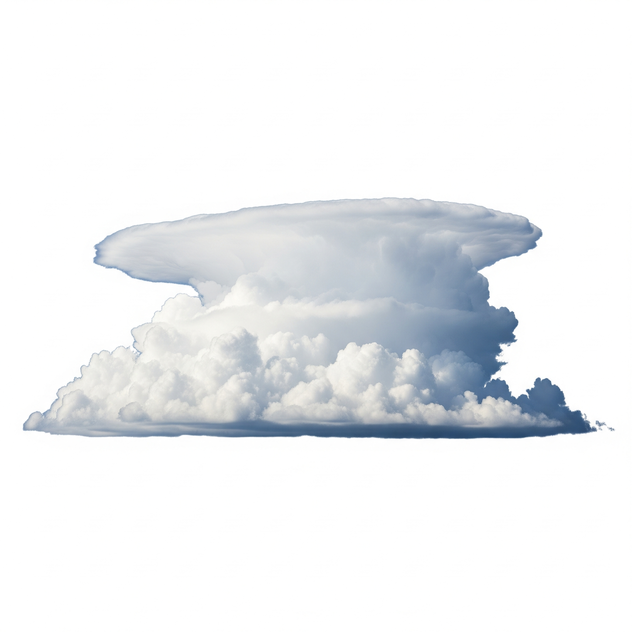
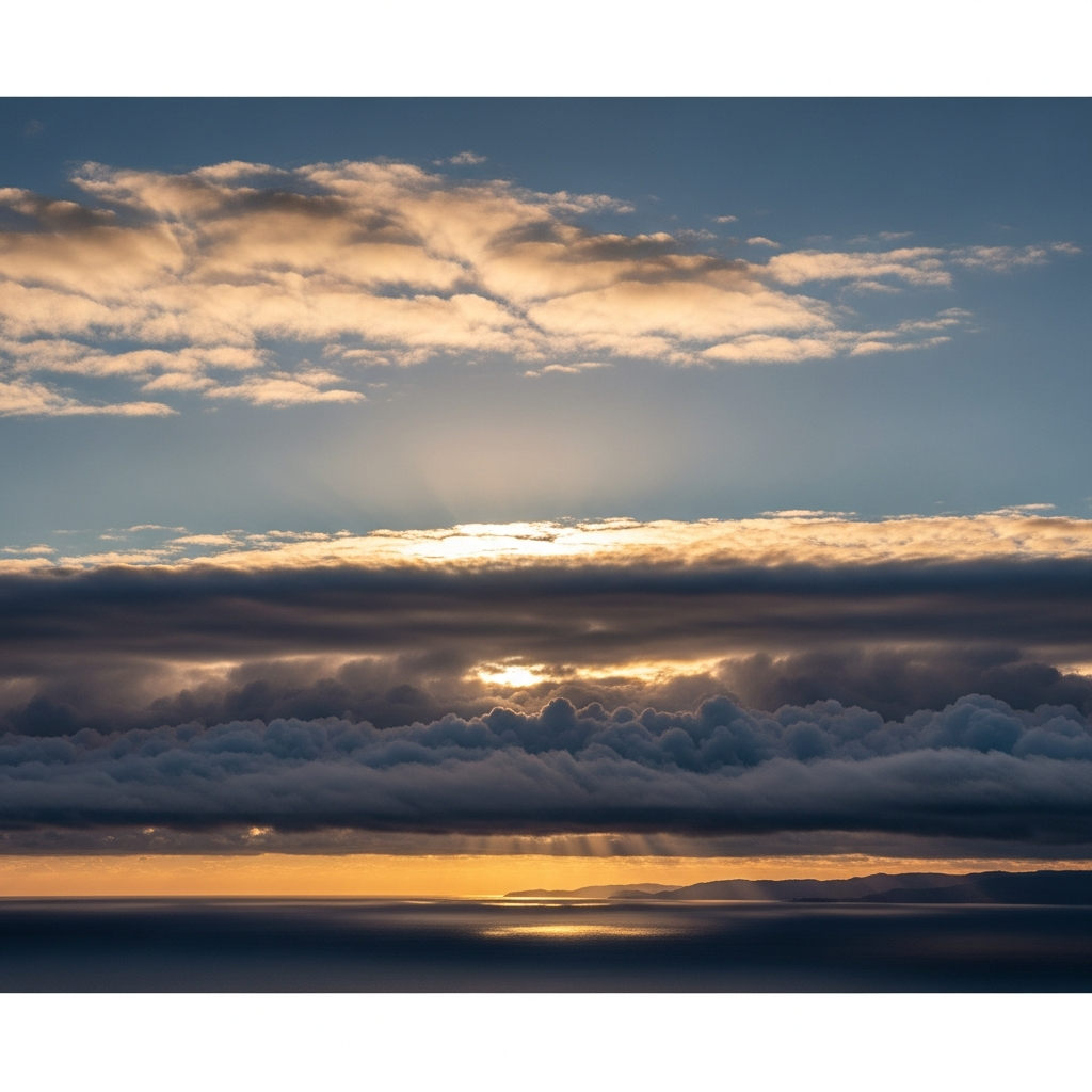
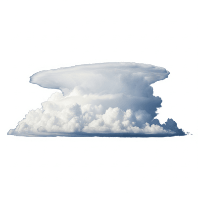
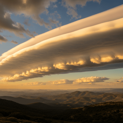
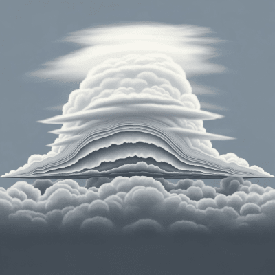
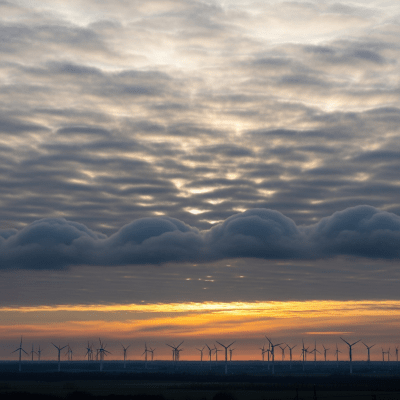
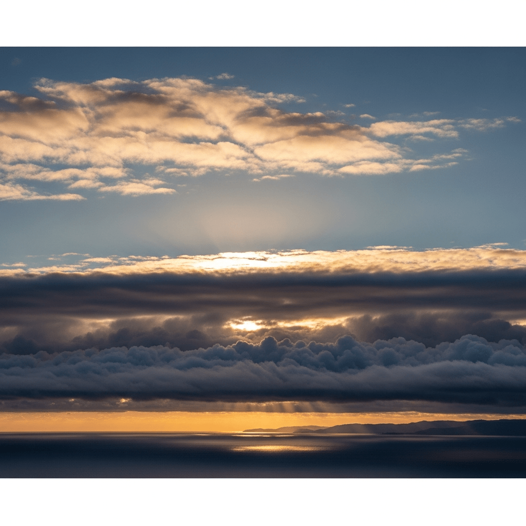
Origin Story

The name stratocumulus stratiformis originates from Latin roots meaning "layer" (stratus) and "heap" (cumulus), with "stratiformis" describing its layered form. It was formally classified as a species under the stratocumulus genus in the World Meteorological Organization's International Cloud Atlas, building on Luke Howard’s pioneering cloud taxonomy from the early 19th century.

Classification

Stratocumulus stratiformis belongs to the stratocumulus genus, a group of low-level clouds characterized by their mixed layered and cellular structure. As a species, stratiformis is distinguished by its broad, sheet-like morphology within this genus. It is recognized in meteorological classification systems and reported under the METAR code "SC" for stratocumulus clouds.

Appearance or Form

This cloud species forms broad, horizontal layers or patches that often cover large areas of the sky. Individual cloud elements tend to be rounded but merge into a continuous or semi-continuous sheet with a relatively flat and uniform base. The cloud typically appears gray or whitish, exhibiting moderate thickness and a textured, sheet-like form.

Behavior or Usage

Stratocumulus stratiformis commonly forms through the spreading of cumulus clouds or the mixing of moist air under stable or weakly unstable atmospheric conditions. It often signals temperature inversions or the approach of warm fronts. In meteorology and aviation, its presence indicates stable low-level layers that can affect visibility and ceiling heights, making it important for weather forecasting and flight planning.

Merchandise & Prints

Bring this kind into your world � illustrated posters, mugs, and shirts.

Stratocumulus Stratocumulus Poster

Stratocumulus Poster

Archival print, museum-grade paper

Stratocumulus Stratocumulus Mug

Stratocumulus Mug

Stoneware mug, dishwasher safe

Stratocumulus Stratocumulus Shirt

Stratocumulus Shirt

Soft cotton tee, unisex sizes

Attributes & Insights

Taxon-Specific Insights

🌍Cultural Significance

These clouds frequently appear in art and literature as symbols of overcast or gloomy weather, often evoking moods of melancholy or dullness. Their widespread presence in coastal and mid-latitude skies has made them a familiar motif in cultural depictions of gray, layered skies.

📌Notable Facts

  • Stratocumulus stratiformis can persist for hours to days, evolving from or into other cloud types like stratus or cumulus.
  • Though usually non-precipitating, it can produce light drizzle or very light rain.
  • Its layered sheets play a significant role in Earth's radiation budget by reflecting sunlight.
  • It may exhibit supplementary features such as virga (precipitation evaporating before reaching the ground) or varieties like opacus and undulatus.
  • Commonly observed worldwide, especially over oceans and coastal regions during stable atmospheric conditions.

🌦️Formation Process Details

Stratocumulus stratiformis forms primarily through the spreading and merging of cumulus clouds under stable or weakly unstable atmospheric conditions. Moist air is lifted or mixed beneath temperature inversions or frontal zones, allowing condensation to occur in broad, layered sheets. It can also arise as remnants of dissipating precipitation systems, with weak convection sustaining its moderate vertical extent.

Visual Variations

High quality photograph of a Stratocumulus stratiformis, belonging to the taxonomy clouds
Realistic outdoor scene featuring a Stratocumulus stratiformis
Cross-sectional diagram of a Stratocumulus stratiformis
Depiction of a Stratocumulus stratiformis as seen in cultural or practical use

Composition & Context

Taxon-Specific Insights

🗺️Altitude And Distribution

These clouds are classified as low-level, typically forming with bases from the surface up to 600 meters and tops extending to around 2,000 meters. They are common worldwide, especially in mid-latitude coastal regions and over oceans where stable atmospheric layers prevail. Their presence is frequent during stable weather patterns and near warm fronts.

⚠️Hazards And Safety

Stratocumulus stratiformis generally poses minimal hazards. It can reduce visibility and contribute to overcast conditions, affecting surface temperature by reflecting sunlight. Rarely, in cold conditions, it may be associated with light icing. It is not typically linked to turbulence or severe weather, making it a relatively benign cloud type for aviation and outdoor activities.

🔭Observation And Measurement

Observation of stratocumulus stratiformis is commonly performed visually by trained meteorologists and cloud observers. Instruments such as ceilometers and atmospheric soundings help determine cloud base and thickness. Satellite imagery, particularly visible and infrared bands, provides extensive coverage and aids in distinguishing these clouds by their textured, low-level sheets.

🛰️Satellite Imagery Signatures

In satellite imagery, stratocumulus stratiformis appears as extensive, low-level cloud sheets with moderate reflectivity in visible and infrared channels. Its cellular or rounded texture differentiates it from more uniform stratus clouds. These signatures enable meteorologists to identify and monitor large stratocumulus decks, especially over oceanic regions.

Faq

Q: What altitude range does stratocumulus stratiformis typically occupy?
A: It usually forms at low altitudes, with bases from near the surface up to about 600 meters and tops reaching up to 2,000 meters.

Q: Does stratocumulus stratiformis produce heavy rain?
A: No, it rarely produces significant precipitation, though light drizzle or very light rain can occur.

Q: How can stratocumulus stratiformis be distinguished from stratus clouds?
A: Stratiformis has a cellular or rounded texture and moderate thickness, whereas stratus clouds are generally more uniform and featureless.