
Stratocumulus
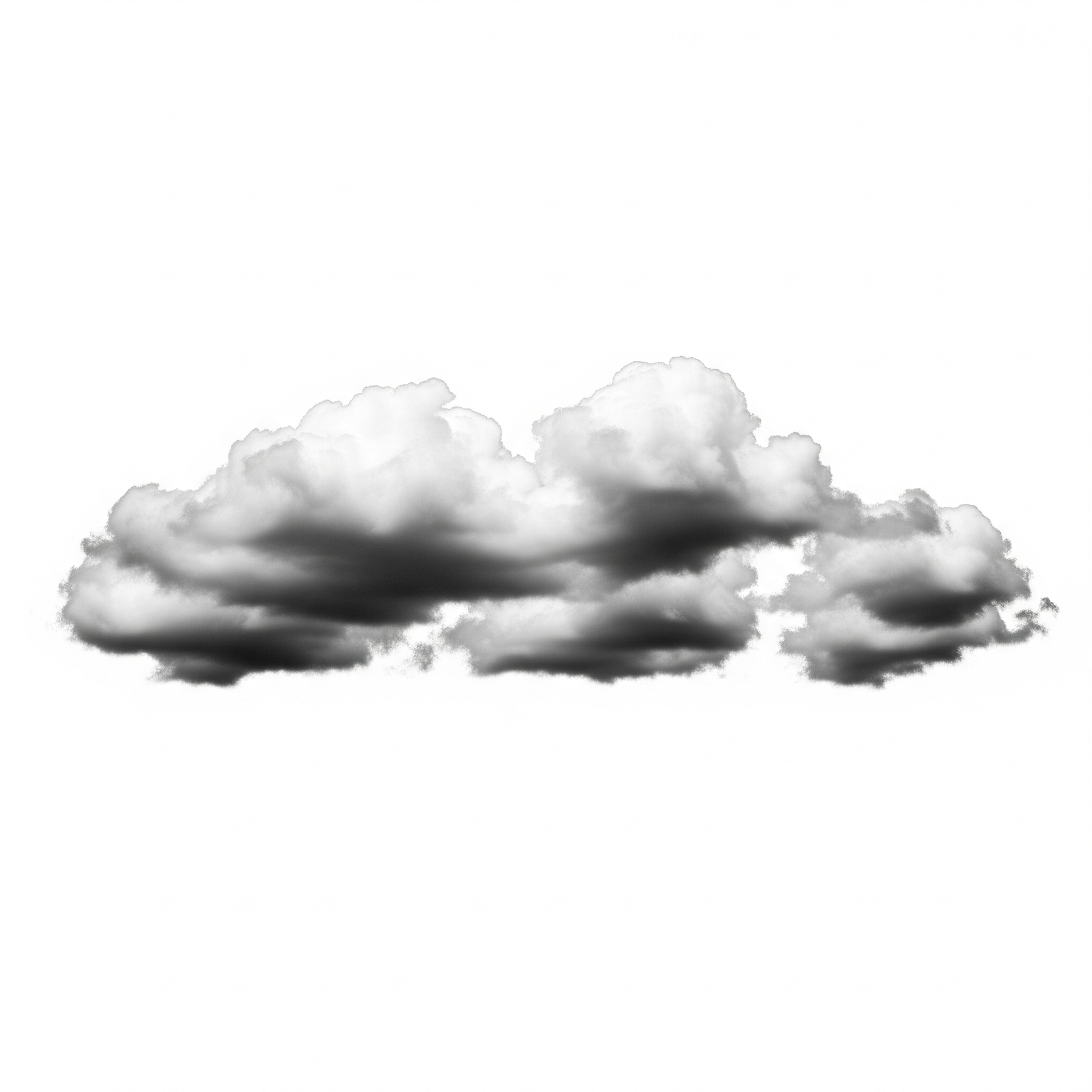
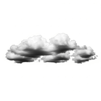
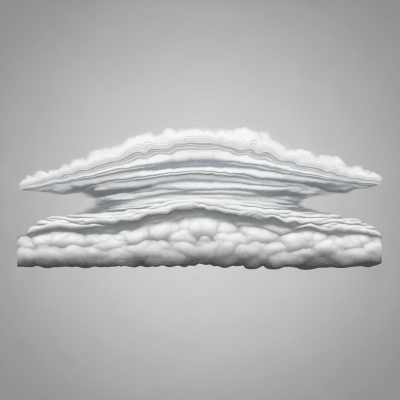
Stratocumulus is a low-level cloud genus characterized by large, rounded masses or rolls that often form a widespread, lumpy layer across the sky, typically gray or whitish with darker shading underneath.
Stratocumulus is a low-level cloud genus characterized by large, rounded masses or rolls that often form a widespread, lumpy layer across the sky, typically gray or whitish with darker shading underneath.
The name "stratocumulus" combines Latin roots meaning "layer" (stratus) and "heap" (cumulus), reflecting its layered yet heap-like appearance. First formally described by Luke Howard in the early 19th century, stratocumulus has been a foundational genus in meteorological cloud classification, refined through successive editions of the World Meteorological Organization's International Cloud Atlas.
Stratocumulus belongs to the low-level cloud family within the canonical WMO cloud taxonomy. It is distinguished morphologically by its large, rounded clumps or rolls that merge into a textured layer, setting it apart from other low clouds like stratus or cumulus. Its standard abbreviation is "Sc," and it is recognized in aviation codes such as SCT, BKN, and OVC.
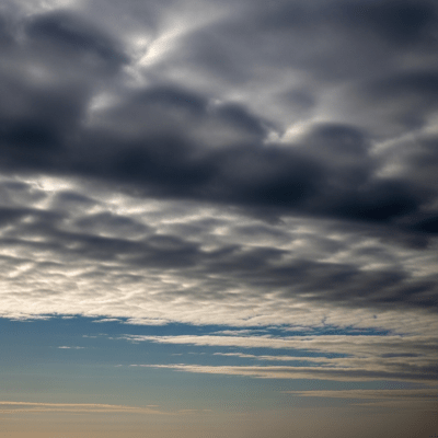
These clouds appear as extensive patches or rolls with a flat or gently undulating base and lumpy tops. Their color ranges from white to gray, often darker underneath due to thickness and lighting angles. The texture is distinctly lumpy or cellular, sometimes forming broken or overcast layers that reveal gaps of clear sky.
Stratocumulus clouds play a key role in moderating surface sunlight by reflecting solar radiation, influencing local temperatures. They often indicate stable atmospheric conditions and weak convection within the boundary layer. For aviation, they can reduce visibility and cause mild turbulence but generally pose limited hazards. Their persistence and widespread coverage make them important indicators in weather observation and forecasting.
Bring this kind into your world � illustrated posters, mugs, and shirts.
Archival print, museum-grade paper
Buy Poster
Stoneware mug, dishwasher safe
Buy Mug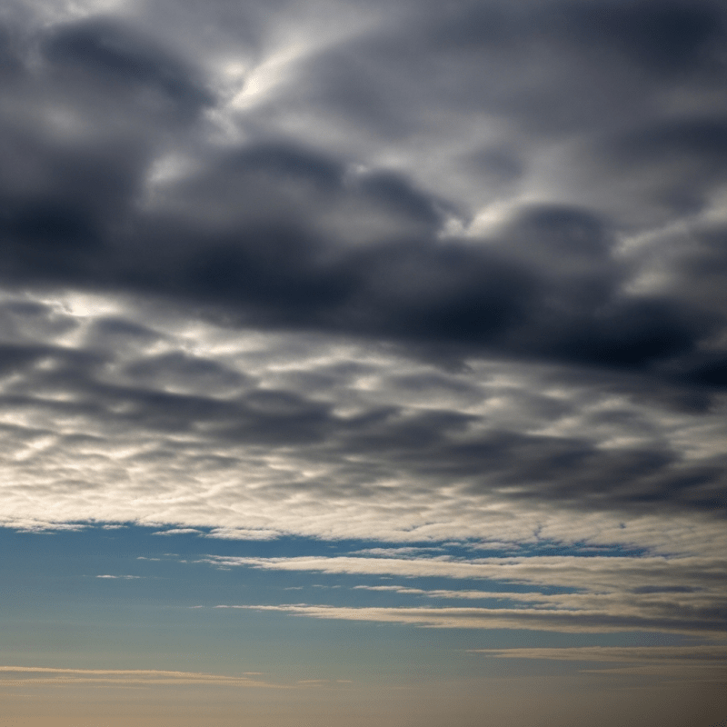
Soft cotton tee, unisex sizes
Buy ShirtWidely recognized as the classic "cloudy sky," stratocumulus features prominently in weather lore, education, and citizen science. Its distinctive lumpy texture and frequent presence inspire cloudspotters and artists alike. In some coastal regions, it is known as the "marine layer," and when arranged in parallel bands, it is referred to as "cloud streets," reflecting its influence on local culture and meteorological identity.
Stratocumulus clouds form primarily through the spreading and flattening of cumulus clouds or by the gentle lifting of moist air in stable atmospheric layers, often capped by a temperature inversion. This stable layer suppresses strong convection, leading to broad, shallow cloud layers. Turbulence and weak convection within the boundary layer mix moisture and promote the characteristic lumpy texture. They can also arise from the transformation of stratus or the breakup of nimbostratus clouds.

Stratocumulus clouds belong to the low-level altitude family, with bases typically ranging from the surface up to 2,000 meters and tops between 600 and 2,000 meters. They are globally widespread, especially prevalent over oceans and coastal areas, and commonly observed in subtropical and temperate climates. They occur less frequently in polar regions but can appear there under suitable conditions.
Generally benign, stratocumulus clouds can reduce surface visibility and cause minor drizzle. They also diminish solar irradiance, affecting surface temperatures. For aviation, they may induce mild turbulence at low altitudes and contribute to low ceilings, which can impact flight operations. However, they rarely pose significant hazards compared to more severe cloud types.
Stratocumulus clouds are commonly observed visually and identified by their distinctive texture and altitude. Measurement techniques include ceilometers for cloud base detection, satellite remote sensing in visible and infrared bands to capture their textured patterns, cloud radar for vertical profiling, and aircraft in situ sampling to study microphysical properties.
In satellite imagery, stratocumulus appears as textured, grayish-white sheets often exhibiting cellular or honeycomb patterns. Their broken, lumpy structure distinguishes them from the more uniform stratus layers. These patterns are evident in both visible and infrared satellite channels, aiding meteorologists in identification and tracking.