
Shelf cloud
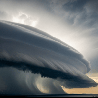
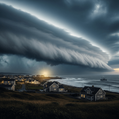
A shelf cloud is a broad, horizontal, wedge-shaped accessory cloud that forms at the leading edge of thunderstorm outflow boundaries, signaling the approach of severe weather.
A shelf cloud is a broad, horizontal, wedge-shaped accessory cloud that forms at the leading edge of thunderstorm outflow boundaries, signaling the approach of severe weather.
The term "shelf cloud" derives from its striking resemblance to a shelf or ledge and was first described in meteorological literature in the early 20th century. Officially classified by the World Meteorological Organization as the supplementary feature "arcus," shelf clouds became widely recognized in operational meteorology and public weather communication by the mid-20th century. They are typically associated with powerful convective storms, especially cumulonimbus clouds.
Shelf clouds are not a distinct cloud genus but are classified as a supplementary feature (arcus) within the World Meteorological Organization's cloud taxonomy. They commonly form as accessory clouds attached to cumulonimbus, and less frequently to cumulus congestus, marking the gust front of convective systems.
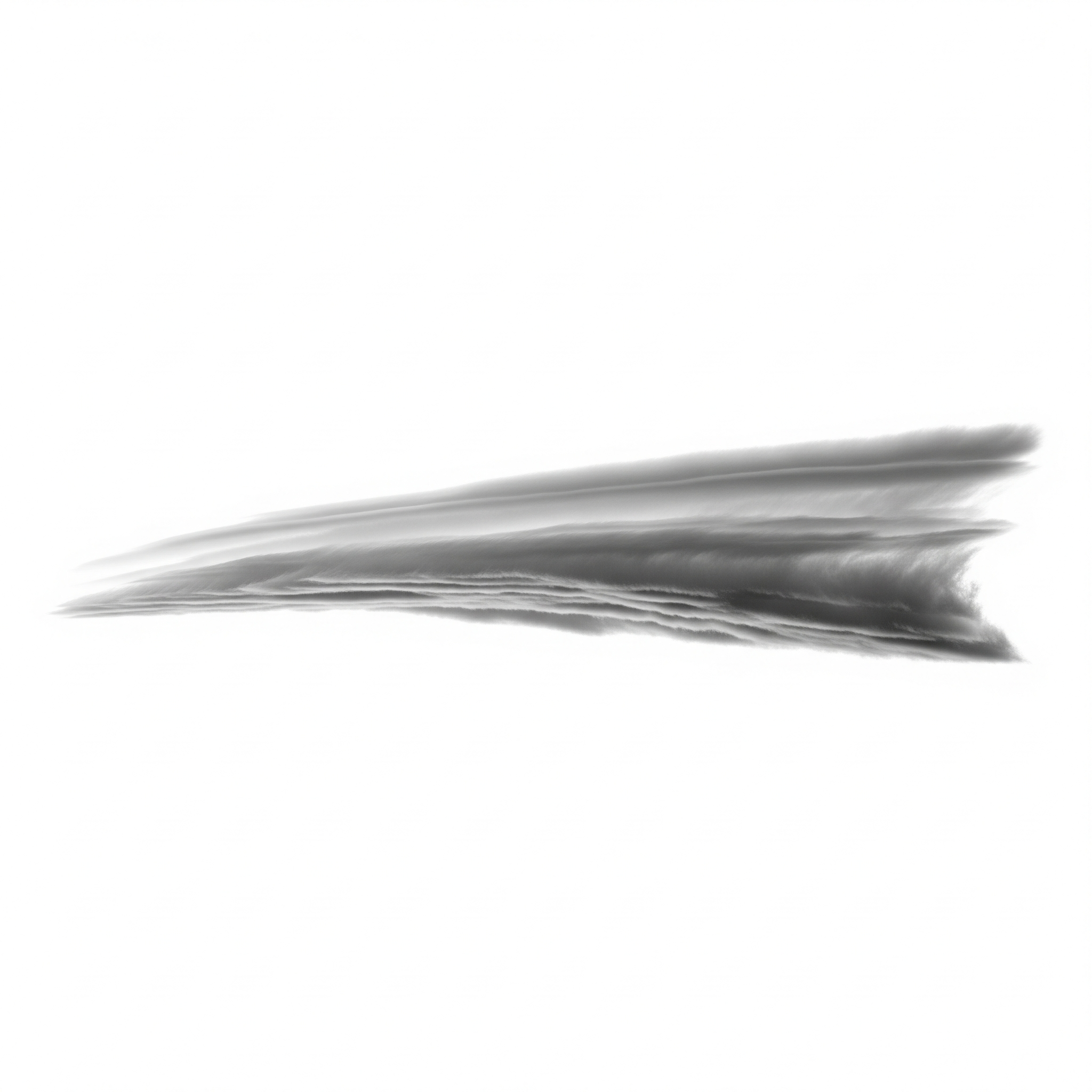
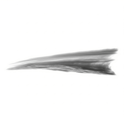
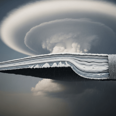
Shelf clouds appear as broad, horizontal, wedge-shaped formations with a sharply defined leading edge that often looks like a dark, menacing arc. Their undersides are typically turbulent and ragged, sometimes accompanied by scud clouds (fractus) hanging below. Colors range from gray to dark gray, influenced by lighting conditions and precipitation presence.
Shelf clouds form as warm, moist air is forcibly lifted by the outflow or gust front of a thunderstorm, causing condensation at the boundary between cooler outflow air and warmer ambient air. While shelf clouds themselves do not produce precipitation, their presence reliably indicates imminent heavy rain, strong winds, and potentially severe weather from the parent storm. They serve as critical visual cues for meteorologists, aviators, and the public to anticipate rapid weather changes.
Bring this kind into your world � illustrated posters, mugs, and shirts.
Archival print, museum-grade paper
Buy Poster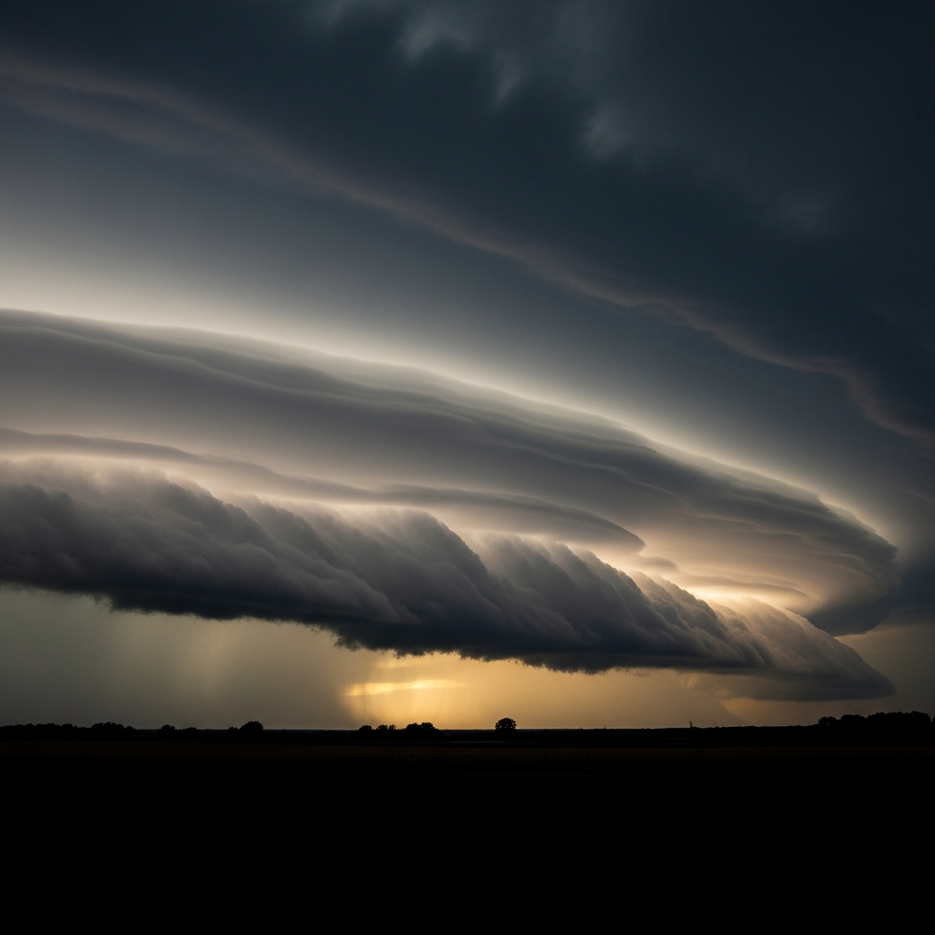
Stoneware mug, dishwasher safe
Buy Mug
Soft cotton tee, unisex sizes
Buy ShirtRenowned for their dramatic and ominous appearance, shelf clouds have become popular subjects in storm photography and media, often symbolizing the raw power of nature’s storms. They feature prominently in weather education and public safety messaging, helping communities recognize the signs of approaching severe weather. The term "arcus" is used internationally in meteorological classification, while "shelf cloud" is the common English name.
🌾️ Shelf clouds form when the outflow or gust front of a thunderstorm forces warm, moist air upward at the leading edge of the storm’s cool downdraft. This lifting causes the air to cool and condense rapidly, creating a horizontal, wedge-shaped cloud that marks the boundary between the advancing cool air and the warmer surrounding atmosphere. Turbulence beneath the cloud often produces ragged scud clouds, enhancing the dynamic appearance of the shelf.
🗺️ Shelf clouds are low-level phenomena, typically forming between 100 and 2,000 meters above ground. They occur worldwide but are most common in mid-latitude regions during convective storm seasons. Their presence is closely tied to mesoscale convective systems, squall lines, and severe thunderstorms that generate strong outflow boundaries.
⚠️ While shelf clouds themselves do not produce precipitation, they are important indicators of approaching severe weather. Their arrival often precedes strong, gusty winds, turbulence, and rapid changes in weather conditions. These factors pose hazards to aviation, marine navigation, and outdoor activities. Recognizing shelf clouds can provide valuable warning to seek shelter and prepare for sudden weather deterioration.
🔍 Shelf clouds are primarily observed visually and through ground-based photography due to their distinctive morphology. Radar systems detect the associated gust fronts and outflow boundaries that trigger their formation. High-resolution satellite imagery, especially in visible wavelengths, can sometimes reveal the sharp arc-shaped boundary of shelf clouds at the leading edge of convective cloud masses, though their low altitude and horizontal extent make them challenging to distinguish remotely.
🛰️ In satellite imagery, shelf clouds are subtle and often difficult to isolate due to their low altitude and horizontal spread. They may appear as sharp, arc-shaped boundaries at the forefront of larger convective cloud clusters in high-resolution visible images. Infrared sensors typically cannot distinguish them clearly, as their temperature contrasts with surrounding air are minimal compared to towering cumulonimbus clouds.