
Pileus
Pileus is a smooth, lens-shaped accessory cloud that forms as a cap or hood above rapidly rising convective clouds, signaling strong updrafts and often preceding vigorous thunderstorm development.
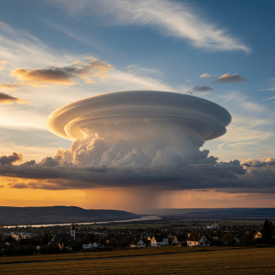
Pileus is a smooth, lens-shaped accessory cloud that forms as a cap or hood above rapidly rising convective clouds, signaling strong updrafts and often preceding vigorous thunderstorm development.
The name "pileus" derives from Latin, meaning "cap" or "felt hat," reflecting its characteristic cap-like shape. First formally described in the 19th century by Luke Howard, pileus was later incorporated into the International Cloud Atlas as a recognized accessory cloud and supplementary feature, maintaining its classification ever since.
Pileus is classified as a supplementary feature or accessory cloud rather than a standalone genus or species. It is always associated with a mother cloud, most commonly Cumulus congestus or Cumulonimbus, and is not separately coded in aviation reporting systems like METAR.
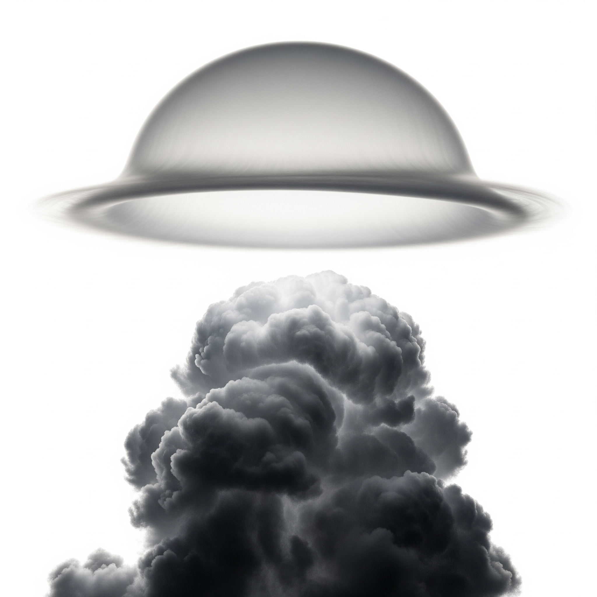
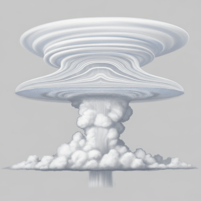
Pileus appears as a smooth, uniform, lens- or dome-shaped cloud layer, typically white or light gray. It lacks internal structure or shading and forms a thin, delicate cap or veil above a growing convective cloud, often resembling a translucent hood or smooth lens.
Functionally, pileus clouds indicate intense updrafts within the parent convective cloud, serving as a visual signal of vigorous atmospheric convection. While pileus itself does not produce precipitation, its presence warns of potential severe weather such as thunderstorms, hail, or heavy rain developing below.
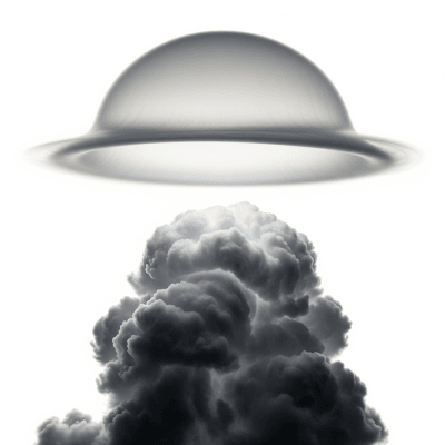
Bring this kind into your world � illustrated posters, mugs, and shirts.
Archival print, museum-grade paper
Buy Poster
Stoneware mug, dishwasher safe
Buy Mug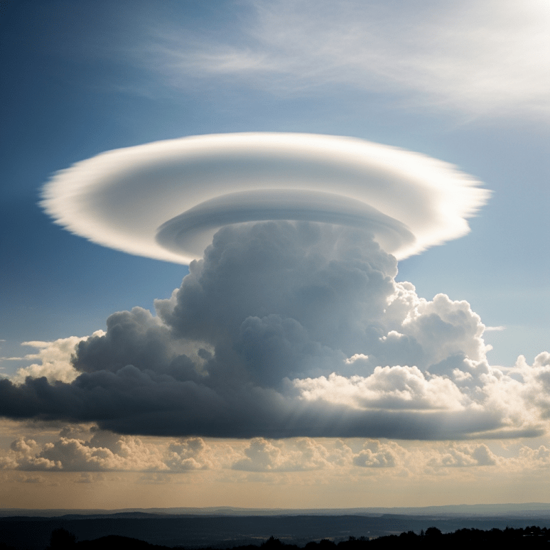
Soft cotton tee, unisex sizes
Buy ShirtAdmired for their striking and ephemeral beauty, pileus clouds are popular subjects in weather photography and citizen science. They serve as classic examples in cloud identification education and symbolize the dynamic power of nature’s storms in art and meteorological culture.
Pileus clouds form when a rapidly rising convective cloud, such as a Cumulus congestus or Cumulonimbus, generates strong updrafts that push moist air above it into a stable atmospheric layer. This air cools adiabatically, causing water vapor to condense into a thin, smooth cloud layer that caps the parent cloud. The pileus cloud is essentially a condensation cloud created by the forced lifting and cooling of moist air above the vigorous updraft.

Pileus clouds typically form at altitudes ranging from about 1,000 to 12,000 meters, matching the height of their mother convective clouds. They are observed worldwide, most frequently in regions with strong convective activity such as tropical zones and mid-latitudes during summer months.
While pileus clouds themselves pose no direct hazards, their presence signals strong updrafts and active convection below, which can indicate turbulence, icing, and severe weather risks such as thunderstorms, hail, and lightning. Pilots and meteorologists use pileus as a visual cue to anticipate potentially hazardous atmospheric conditions.
Pileus clouds are primarily observed visually from the ground, by pilots, and through photography. Their thin, transient nature makes them challenging to detect with satellite imagery, though high-resolution visible satellite images may capture their smooth, bright caps atop convective clouds. Measurement methods include human observation, pilot reports, and limited satellite detection.
Due to their thinness and fleeting existence, pileus clouds are difficult to resolve in satellite imagery. When visible, they appear as smooth, bright caps or veils above convective cloud tops in high-resolution visible spectrum images. Their subtle signatures often blend with the underlying parent cloud, limiting detection in infrared or other spectral bands.