Cumulus
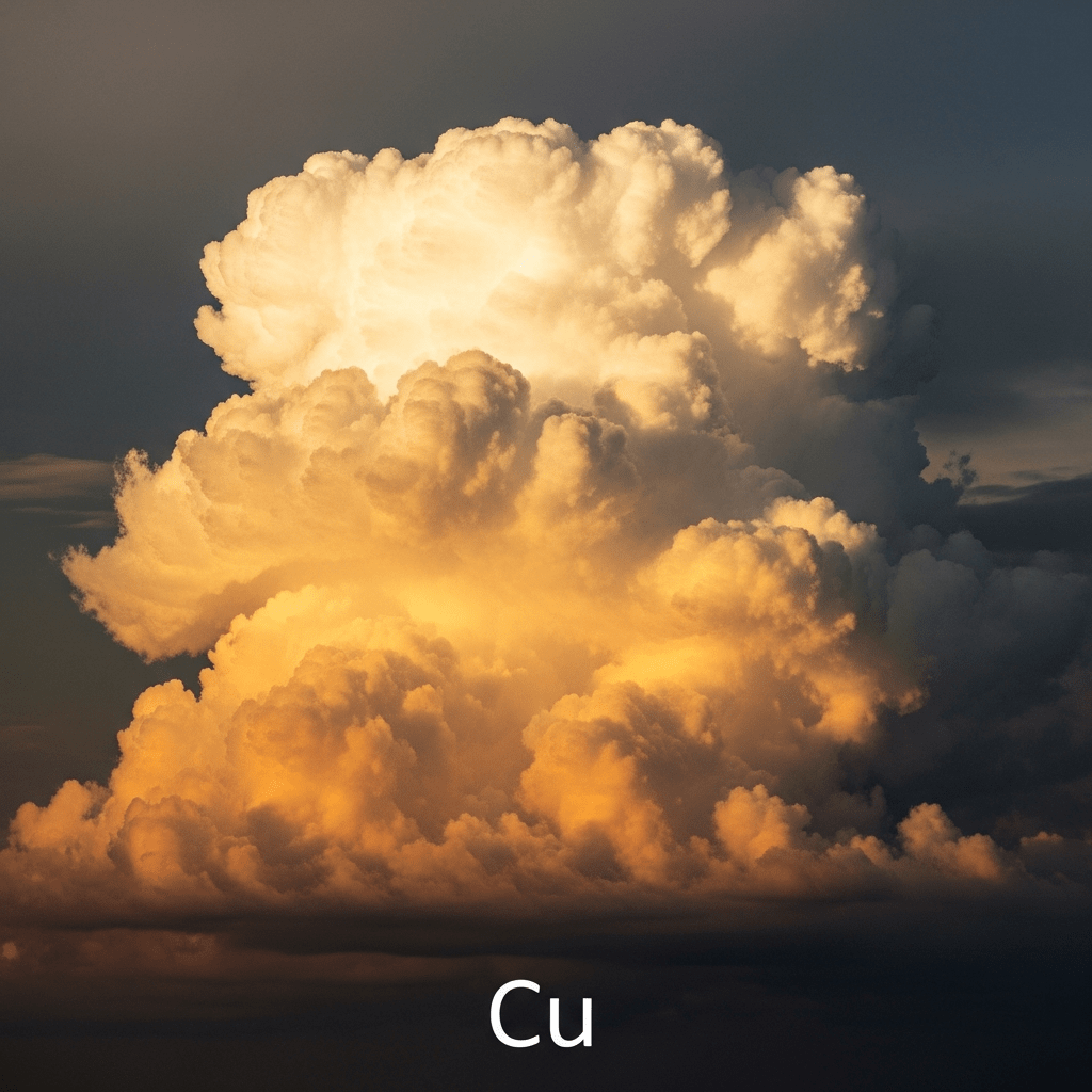
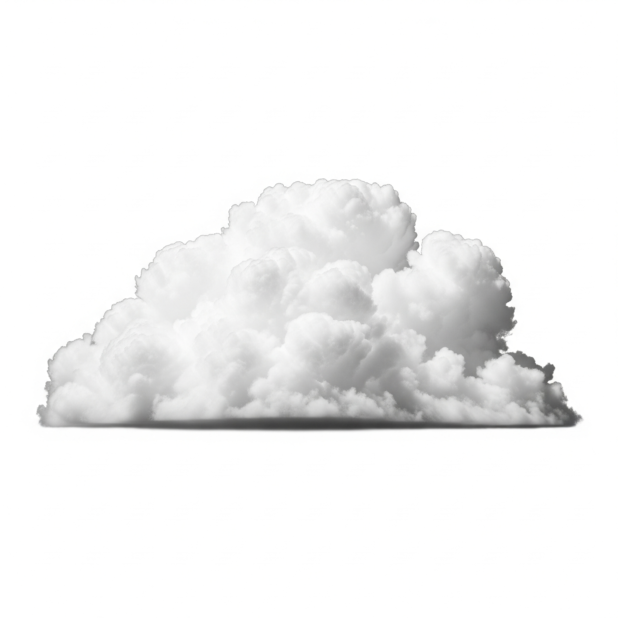
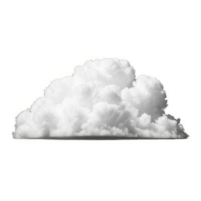
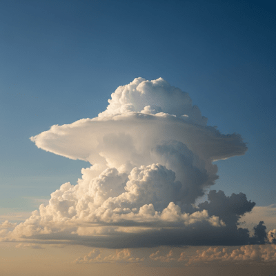
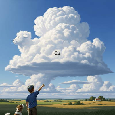
Cumulus clouds are dense, white, and puffy formations with sharply defined flat bases and rounded tops, commonly seen as fair-weather clouds but capable of growing into towering, precipitation-producing structures.
Cumulus clouds are dense, white, and puffy formations with sharply defined flat bases and rounded tops, commonly seen as fair-weather clouds but capable of growing into towering, precipitation-producing structures.
The term "cumulus" originates from the Latin word for "heap" or "pile," aptly describing their piled-up appearance. This cloud genus was first formally classified by Luke Howard in 1803, establishing a foundational category in meteorological cloud taxonomy that remains central today.
Cumulus belongs to the low-level cloud family and is recognized as one of the principal cloud genera. It includes species such as humilis, mediocris, and congestus, with varieties like radiatus and fractus. Supplementary features include virga, pannus, and pileus, while accessory clouds often accompany cumulus formations, notably pileus and velum.
Cumulus clouds present a strikingly puffy, cotton-like appearance characterized by crisp, flat bases and rounded, billowing tops. Their edges are well-defined, ranging from small, fair-weather tufts to towering, imposing shapes that sometimes reach impressive heights.
Formed by convection, cumulus clouds develop as warm air rises, cools, and condenses at a consistent altitude, creating their signature flat bases. They serve as key indicators of atmospheric stability and moisture, guiding meteorologists and aviators in assessing weather conditions and potential turbulence.
Bring this kind into your world � illustrated posters, mugs, and shirts.
Archival print, museum-grade paper
Buy Poster
Stoneware mug, dishwasher safe
Buy Mug
Soft cotton tee, unisex sizes
Buy ShirtWidely recognized and cherished, cumulus clouds have long symbolized fair weather and optimism in art and literature. Their iconic fluffy forms inspire cultural imagery and are frequently featured in educational materials as emblematic representations of daytime skies.
🌦️ Cumulus clouds form through convection as surface heating warms air parcels, causing them to rise. As these parcels ascend, they cool adiabatically until reaching the lifting condensation level, where moisture condenses into visible droplets, creating the cloud's flat base. Continued instability and moisture availability allow vertical growth, producing the characteristic rounded tops and potentially towering forms.

🗺️ Typically classified as low-level clouds, cumulus bases range from about 500 to 2,000 meters above ground, with tops extending from 1,000 up to 6,000 meters for larger species. They occur worldwide, most frequently over land during daytime when solar heating is strongest, and are less common over oceans.
⚠️ While most cumulus clouds are harmless, the congestus species can produce showers, turbulence, and icing hazards, posing risks to aviation. Additionally, they may serve as precursors to cumulonimbus clouds, which bring severe weather. Awareness of their development is important for flight safety and weather forecasting.
🔍 Cumulus clouds are observed visually by meteorologists and enthusiasts, with instruments like ceilometers and satellite remote sensing providing altitude and structural data. Aircraft in situ sampling further aids in understanding their microphysical properties and dynamics.
🛰️ In satellite imagery, cumulus clouds appear as bright white, textured formations with a distinct cellular pattern. Their isolated and well-defined shapes differentiate them from more uniform stratiform clouds, making them identifiable in visible and infrared bands.