
Cumulonimbus
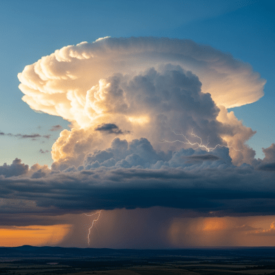
Cumulonimbus is the towering thunderstorm cloud genus known for its dramatic vertical development and capacity to produce severe weather such as heavy rain, lightning, hail, and tornadoes.
Cumulonimbus is the towering thunderstorm cloud genus known for its dramatic vertical development and capacity to produce severe weather such as heavy rain, lightning, hail, and tornadoes.
The name Cumulonimbus originates from Latin, combining cumulo- meaning heap or pile, and nimbus meaning rainstorm. It was first formalized by Luke Howard in 1803 as a cloud type merging cumulus and nimbus characteristics. Since then, it has been a principal genus in meteorological classification, notably in the World Meteorological Organization’s International Cloud Atlas since 1896.
Cumulonimbus belongs to the vertical cloud family, distinguished by its extensive vertical growth spanning low to high tropospheric levels. It is classified as a genus with recognized species such as calvus and capillatus, and features supplementary forms like the anvil-shaped incus and mammatus clouds. It typically develops from the mother cloud Cumulus congestus and is abbreviated as Cb in meteorological codes.
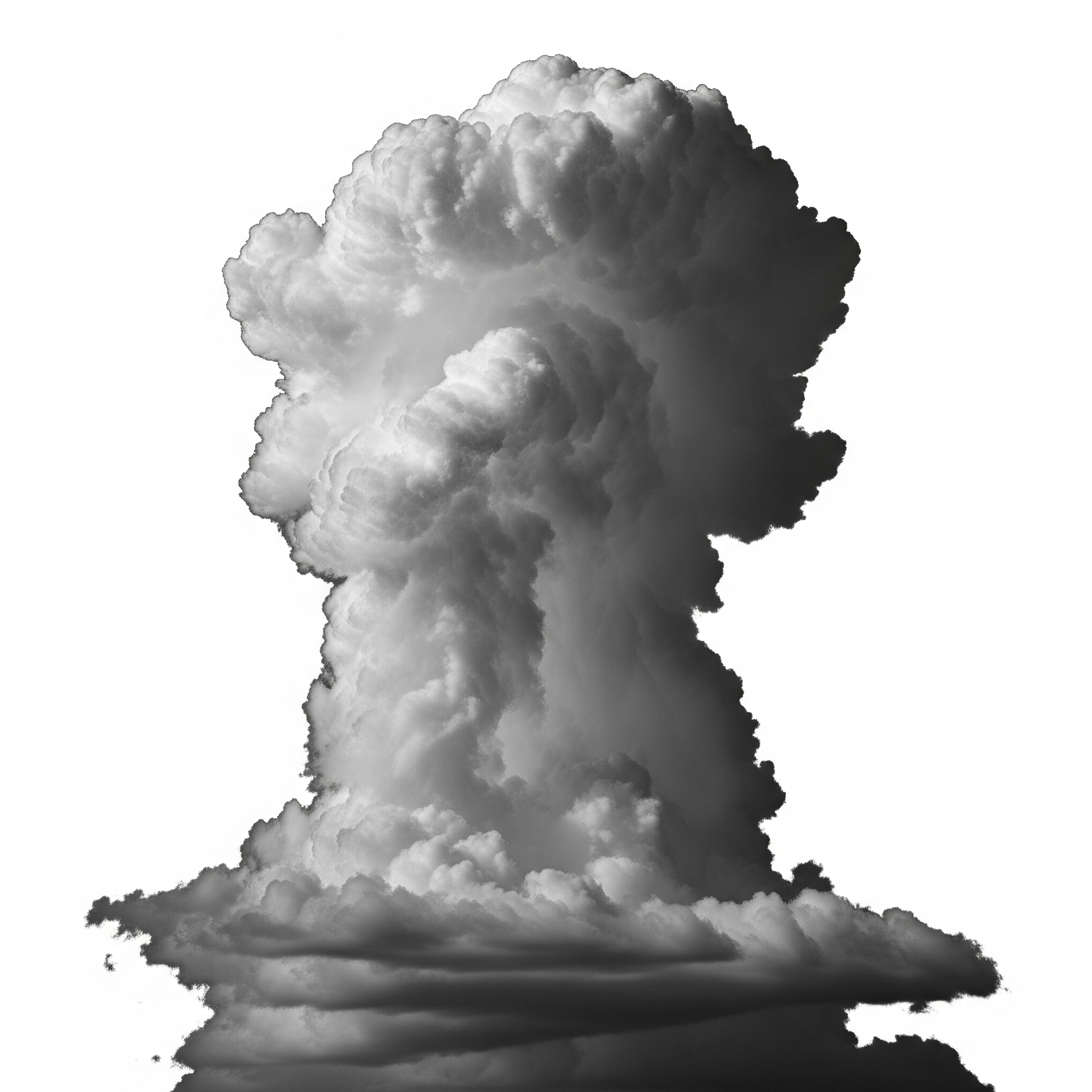
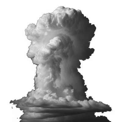
Cumulonimbus clouds appear as massive, towering columns or mountains with a distinctive flat, anvil-shaped top caused by wind shear near the tropopause. Their base is dark and ragged, often accompanied by accessory clouds such as shelf clouds (arcus) or ragged scud clouds (pannus). Visually, they evoke a dense, cauliflower-like texture with fibrous upper regions, overshooting tops, and sometimes striking mammatus formations hanging beneath the anvil.
These clouds form through vigorous convection in unstable, moist air masses, often triggered by surface heating, frontal boundaries, or orographic lift. They serve as the primary drivers of thunderstorms and severe weather, producing intense precipitation, hail, lightning, and tornadoes. For aviation and weather forecasting, cumulonimbus clouds are critical indicators of hazardous conditions such as turbulence, icing, and wind shear.
Bring this kind into your world � illustrated posters, mugs, and shirts.
Archival print, museum-grade paper
Buy Poster
Stoneware mug, dishwasher safe
Buy Mug
Soft cotton tee, unisex sizes
Buy ShirtCumulonimbus clouds have long symbolized powerful storms and dramatic weather in art, literature, and folklore. Often depicted as the quintessential "storm cloud," they evoke awe and respect for nature’s force. Their towering, anvil-shaped silhouette is a familiar motif representing thunder and tempestuous skies across cultures worldwide.
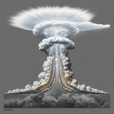
🌦️ Cumulonimbus clouds form through intense convection when warm, moist air near the surface rises rapidly into cooler layers aloft. This ascent is often triggered by surface heating, frontal boundaries, or orographic lifting over terrain. As the air rises, it cools and condenses, releasing latent heat that fuels further upward motion. The cloud grows vertically through the troposphere, developing a dense core of supercooled water droplets, ice crystals, graupel, and hail. Wind shear at the tropopause flattens the cloud top into an anvil shape, while precipitation forms and falls, sometimes evaporating before reaching the ground (virga).

🌐 Cumulonimbus clouds are vertically extensive, with bases typically between 200 and 2,000 meters above ground and tops reaching 6,000 to 18,000 meters, occasionally exceeding 21,000 meters in tropical regions. They occur worldwide but are most frequent in tropical and temperate zones during convective seasons. Their presence is closely linked to unstable atmospheric conditions conducive to thunderstorms and severe weather outbreaks.
⚠️ Cumulonimbus clouds are associated with numerous hazards: intense turbulence and wind shear threaten aircraft safety; lightning poses risks to ground and airborne assets; hail can damage property and crops; heavy precipitation may cause flash flooding; and tornadoes or microbursts can result in severe localized destruction. For safety, aviation operations avoid flying through or near these clouds, and severe weather warnings are issued when cumulonimbus activity is detected.
🔍 Cumulonimbus clouds are studied through multiple methods: visual observation remains fundamental for identification; radar detects their high reflectivity from precipitation particles; satellites provide infrared and visible imagery highlighting cold cloud tops and anvil shapes; aircraft can sample microphysical properties in situ; and ground-based ceilometers measure cloud base heights. These combined techniques enable comprehensive monitoring and forecasting of thunderstorm activity.
🛰️ In satellite imagery, cumulonimbus clouds appear as bright white, cold cloud tops in infrared bands, often with distinct overshooting tops protruding above the anvil. Their large, flat anvil casts characteristic shadows in visible imagery. High reflectivity in visible and infrared wavelengths signals dense ice and water content, aiding in their identification and tracking during severe weather events.