
Cirrus uncinus
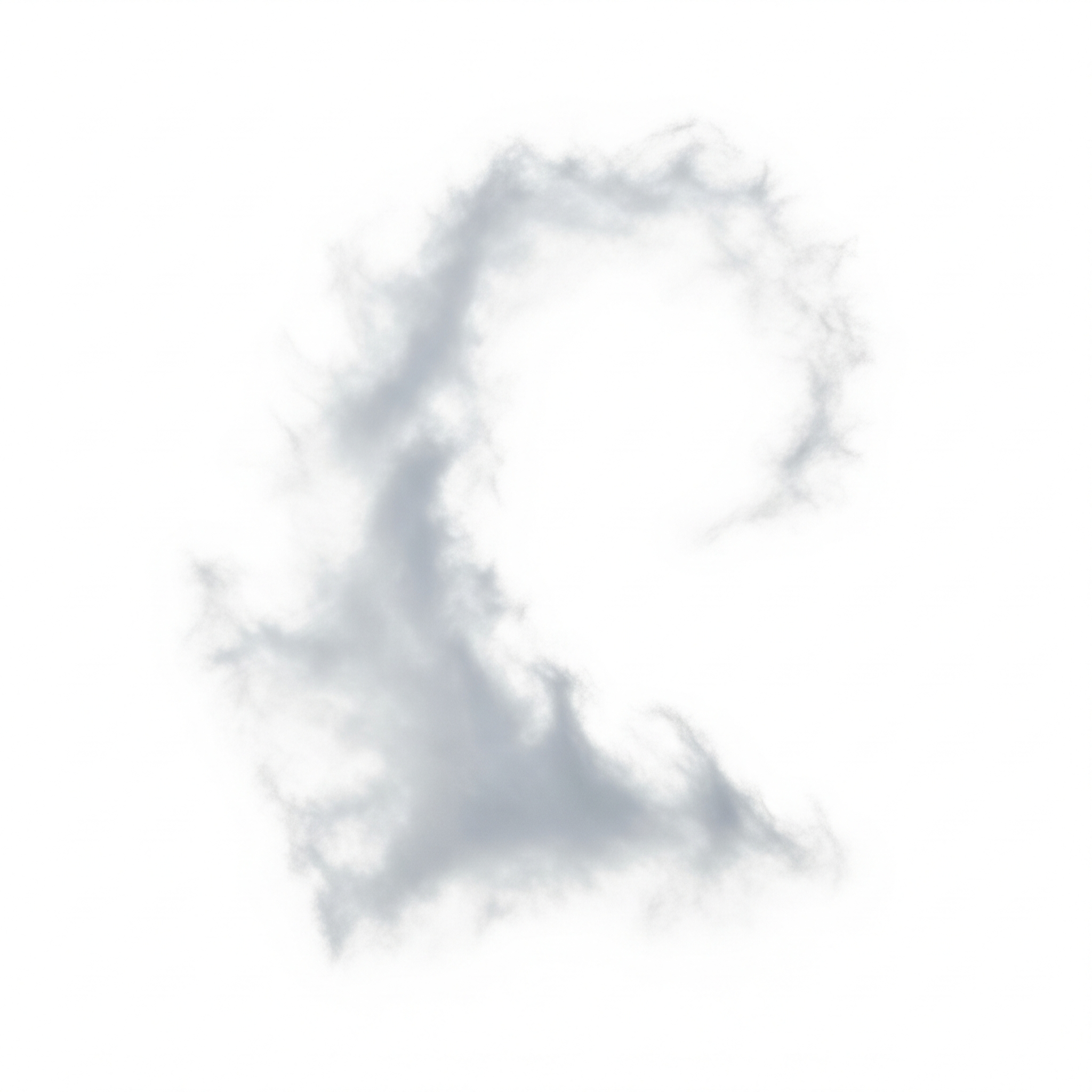
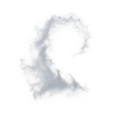
Cirrus uncinus is a high-altitude cloud species characterized by wispy, hooked filaments often called "mare's tails," signaling moisture in the upper atmosphere and impending weather changes.
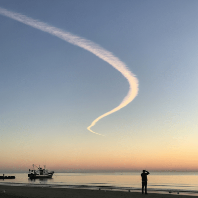
Cirrus uncinus is a high-altitude cloud species characterized by wispy, hooked filaments often called "mare's tails," signaling moisture in the upper atmosphere and impending weather changes.
The name "uncinus" comes from Latin, meaning "hook," inspired by the cloud's distinctive hooked or comma-shaped filaments. First classified in the 19th century by Luke Howard, a pioneer in cloud nomenclature, Cirrus uncinus is formally recognized by the World Meteorological Organization as a species within the cirrus genus.
Cirrus uncinus belongs to the cirrus genus, a group of high-level clouds composed primarily of ice crystals. It is classified as a species within this genus and is identified by its unique hooked filament shape. The cloud is abbreviated as "Ci unc" in meteorological notation and reported under the general cirrus code "CI" in aviation weather reports.
These clouds appear as delicate, fibrous strands with pronounced hooked or comma-shaped tips, often described as resembling horse tails or "mare's tails." Their thin, white filaments lack shading and can sometimes display subtle iridescence when illuminated by the sun at certain angles.
Cirrus uncinus forms ahead of warm fronts or upper-level atmospheric disturbances, serving as an early indicator of changing weather. While they do not produce precipitation reaching the ground, their presence often signals increased upper-level moisture and potential turbulence at cruising altitudes, making them relevant for aviation forecasting and meteorological observations.
Bring this kind into your world � illustrated posters, mugs, and shirts.
Archival print, museum-grade paper
Buy Poster
Stoneware mug, dishwasher safe
Buy Mug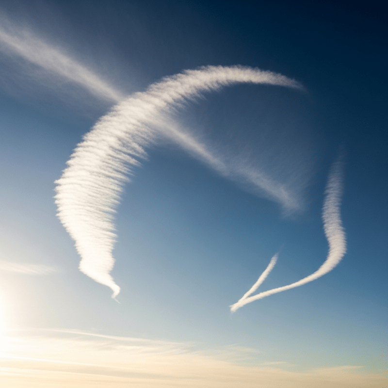
Soft cotton tee, unisex sizes
Buy ShirtCommonly known as "mare's tails," Cirrus uncinus clouds have long featured in weather lore as predictors of rain or unsettled weather. Their elegant, sweeping forms have inspired artists and poets alike, symbolizing the transient beauty and dynamism of the sky.
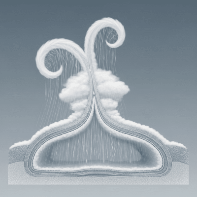
Cirrus uncinus clouds form when ice crystals are lofted into the upper troposphere, typically around 6,000 to 13,000 meters altitude. Strong wind shear in these layers causes differential wind speeds, which sculpt the ice crystals into hooked or comma-shaped filaments. These clouds often develop ahead of warm fronts or upper-level disturbances where moisture is advected and temperatures are low enough to sustain ice formation.

As a high-level cloud species, Cirrus uncinus typically forms between 6,000 and 13,000 meters above ground level. They occur worldwide but are most frequently observed in mid-latitude regions, especially in association with advancing warm fronts and jet stream activity.
Cirrus uncinus clouds pose no direct hazards such as precipitation or severe weather. However, their presence can indicate upper-atmosphere turbulence, which may affect aircraft safety and comfort. They do not produce icing conditions at flight levels but serve as visual cues for pilots and meteorologists to anticipate changing weather patterns.
These clouds are commonly observed visually by meteorologists and enthusiasts using naked-eye identification aided by their distinctive hooked shapes. Remote sensing tools such as satellite imagery (MODIS, GOES), lidar, and ceilometers help determine their altitude and extent. Satellite sensors detect Cirrus uncinus as thin, bright streaks in visible and infrared bands, reflecting their high altitude and ice composition.
In satellite imagery, Cirrus uncinus appears as thin, high-reflectance streaks against the sky, visible in both visible and infrared channels. Their high altitude and low water content make them distinguishable by their brightness and fibrous texture. These signatures help meteorologists track upper-level moisture and frontal systems globally.