
Cirrus fibratus
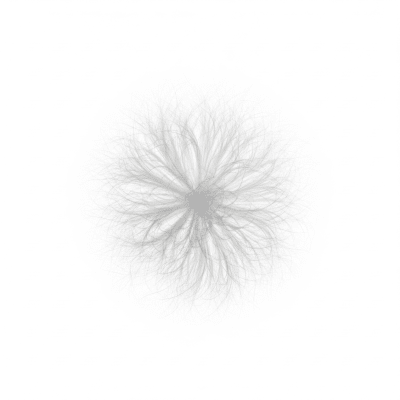
Cirrus fibratus is a high-altitude cloud species characterized by thin, fibrous, hair-like strands that stretch across the sky in delicate, wispy patterns without hooks or tufts.
Cirrus fibratus is a high-altitude cloud species characterized by thin, fibrous, hair-like strands that stretch across the sky in delicate, wispy patterns without hooks or tufts.
The name cirrus comes from Latin meaning "curl" or "tendril," reflecting the cloud's wispy form, while fibratus means "fiber," describing its thread-like structure. Cirrus fibratus was formally classified in the International Cloud Atlas by the World Meteorological Organization, building on the foundational cloud taxonomy established by Luke Howard in the early 19th century.
Cirrus fibratus belongs to the cirrus genus, a group of high-level clouds composed exclusively of ice crystals. It is recognized as a distinct species within this genus, identified by its fibrous morphology. Its standardized abbreviation is Ci fib, and it is reported in aviation using the METAR code CI.
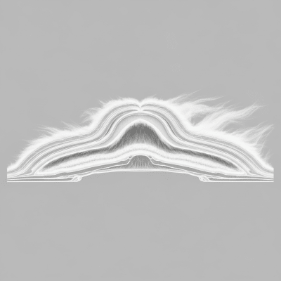
This cloud species appears as long, thin, straight or gently curved fibers arranged in parallel bands or interwoven patterns. Unlike other cirrus species, it lacks the characteristic hooks of cirrus uncinus and the dense tufts of cirrus spissatus. Its color ranges from bright white to pale gray, sometimes showing subtle iridescence under certain lighting conditions.
Cirrus fibratus forms through the gradual outflow of ice crystals from distant cumulonimbus tops or by slow ascent of moist air in the upper troposphere. Strong, steady upper-level winds shape these ice crystals into fibrous strands. Operationally, it serves as an indicator of upper-level wind direction and often signals the approach of frontal weather systems, aiding meteorologists and aviators in situational awareness.
Bring this kind into your world � illustrated posters, mugs, and shirts.

Archival print, museum-grade paper
Buy Poster
Stoneware mug, dishwasher safe
Buy Mug
Soft cotton tee, unisex sizes
Buy ShirtIn art and literature, cirrus fibratus's delicate, streaky appearance has symbolized fair weather or impending atmospheric change. Its ethereal form has inspired poetic imagery and is often referenced as a classic example of high clouds in educational and cultural contexts.
Cirrus fibratus forms when ice crystals gradually flow out from the tops of distant cumulonimbus clouds or when moist air slowly ascends in the upper troposphere. Strong, steady upper-level winds then stretch and align these ice crystals into long, fibrous strands. The process is driven by the cold temperatures at high altitudes, allowing ice crystals to persist and shape into the characteristic fibrous patterns.


Cirrus fibratus is a high-level cloud typically found between 4,000 and 14,000 meters above ground. Its base altitude varies with latitude, being lower in polar regions and higher in the tropics. It occurs worldwide but is most common in mid-latitude regions, often signaling the approach of frontal systems or jet streams.
Cirrus fibratus poses no direct hazards such as precipitation, turbulence, or icing. It is generally benign but serves as an atmospheric indicator of changing weather patterns. Its presence can alert aviators and meteorologists to upcoming frontal systems, aiding in flight planning and weather forecasting.
Cirrus fibratus is observed visually by meteorologists and cloud enthusiasts due to its distinctive fibrous appearance. It is also studied using satellite remote sensing, lidar instruments, and aircraft sampling, which help analyze its structure, altitude, and microphysical properties.
In satellite imagery, cirrus fibratus appears as thin, bright white streaks in visible light images. Due to its low water content, it has a minimal infrared signature, making it less prominent in thermal infrared bands. Its fibrous texture can be discerned in high-resolution satellite photos, aiding in cloud classification and weather monitoring.