Cirrus
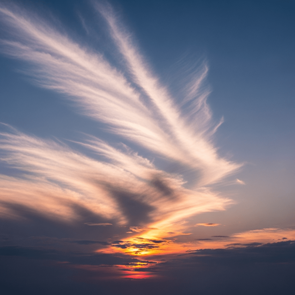
Cirrus clouds are high-altitude, thin, wispy clouds composed predominantly of ice crystals, often appearing as delicate white streaks or curls in the upper troposphere.
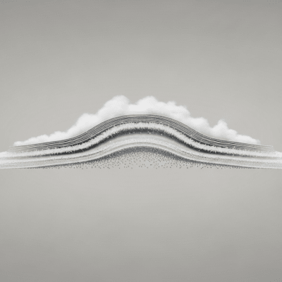
Cirrus clouds are high-altitude, thin, wispy clouds composed predominantly of ice crystals, often appearing as delicate white streaks or curls in the upper troposphere.
The name "cirrus" derives from the Latin word for "curl" or "tuft of hair," inspired by their filamentous appearance. Cirrus clouds were first formally classified by Luke Howard in 1803, establishing them as one of the principal cloud genera recognized today by the World Meteorological Organization.
Cirrus belongs to the high-level cloud family and is one of the ten fundamental cloud genera defined by the WMO. It includes species such as fibratus, uncinus, spissatus, castellanus, and floccus, and is identified in aviation and meteorological reports by the abbreviation "Ci".
These clouds exhibit a thin, fibrous structure, often forming wispy streaks, tufts, or bands that resemble feathers or horse tails. Their white, delicate, and hair-like texture makes them easily distinguishable against the sky.
Cirrus clouds commonly signal the presence of moisture at high altitudes and often precede changes in weather, such as approaching frontal systems. While they do not produce precipitation reaching the ground, they may be associated with virga—precipitation that evaporates before landing. In aviation, their presence can indicate potential turbulence near jet streams.
Bring this kind into your world � illustrated posters, mugs, and shirts.

Archival print, museum-grade paper
Buy Poster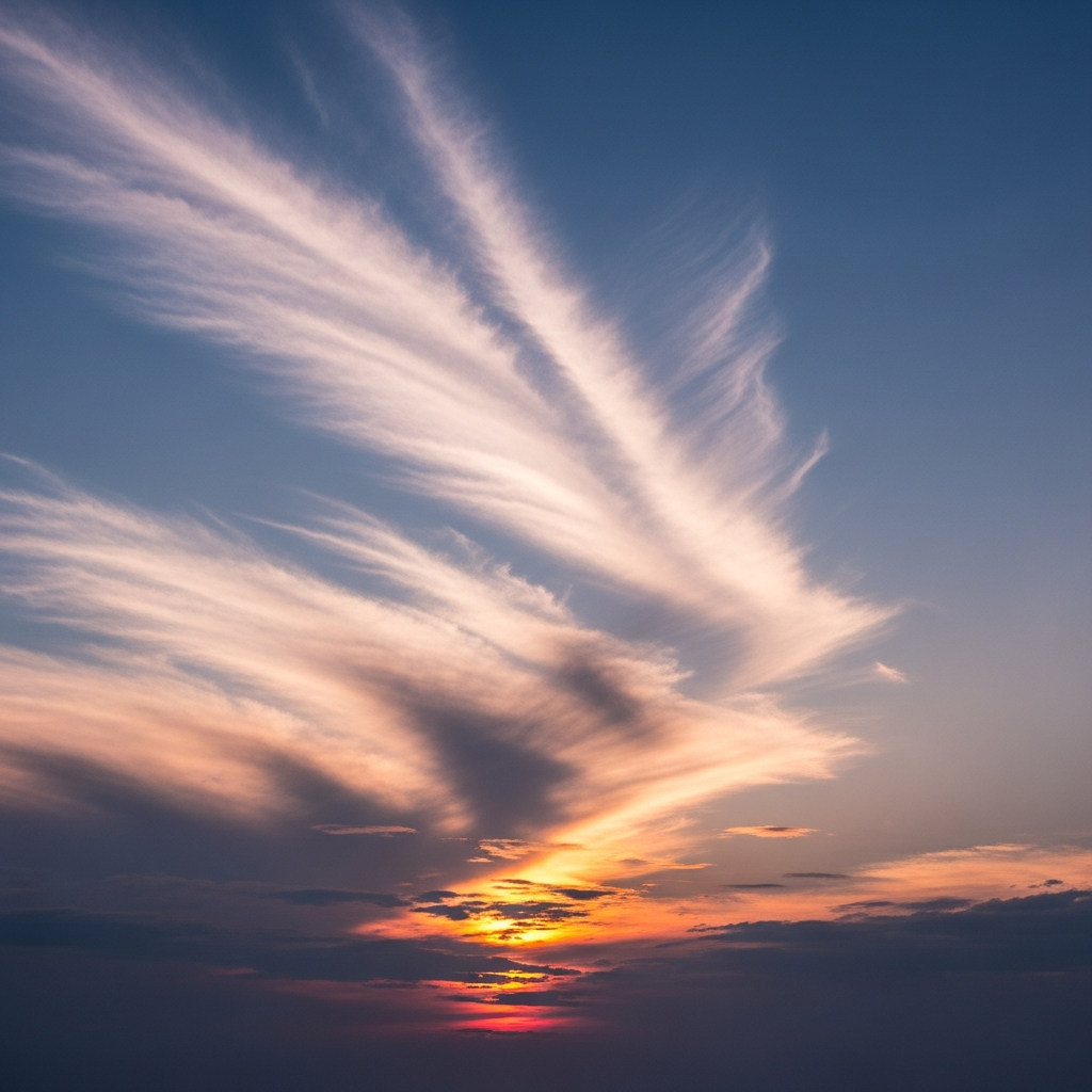
Stoneware mug, dishwasher safe
Buy Mug
Soft cotton tee, unisex sizes
Buy ShirtCirrus clouds have inspired artistic and literary imagery due to their ethereal and graceful appearance. Often called "mare's tails" or "feather clouds," they symbolize fair weather and the transient beauty of the sky in many cultures.
Cirrus clouds form when water vapor freezes into ice crystals at high altitudes where temperatures fall below −20°C. This process typically occurs in the upper troposphere, often originating from the outflow of cumulonimbus anvils, frontal lifting, or jet stream dynamics, which provide the necessary moisture and uplift for their delicate, fibrous structures.


Cirrus clouds are classified as high-level clouds, usually forming between 6,000 and 13,000 meters above ground level, with tropical occurrences reaching up to 14,000 meters. They are found worldwide, most commonly in mid-latitude and tropical regions, frequently appearing above frontal systems and along jet streams.
While cirrus clouds themselves are not hazardous, they can indicate turbulence at cruising altitudes near jet streams, posing considerations for aviation safety. Additionally, their influence on Earth's radiative balance contributes indirectly to climate dynamics.
Cirrus clouds are observed through direct visual identification, satellite remote sensing in visible and infrared spectra, and advanced instruments such as lidar and radar that detect ice crystal content and cloud structure at high altitudes.
In satellite imagery, cirrus clouds appear as bright, thin streaks with high reflectivity in visible channels and strong absorption in infrared bands. Their fibrous texture and altitude make them distinct features in both weather monitoring and climate studies.