
Cirrocumulus
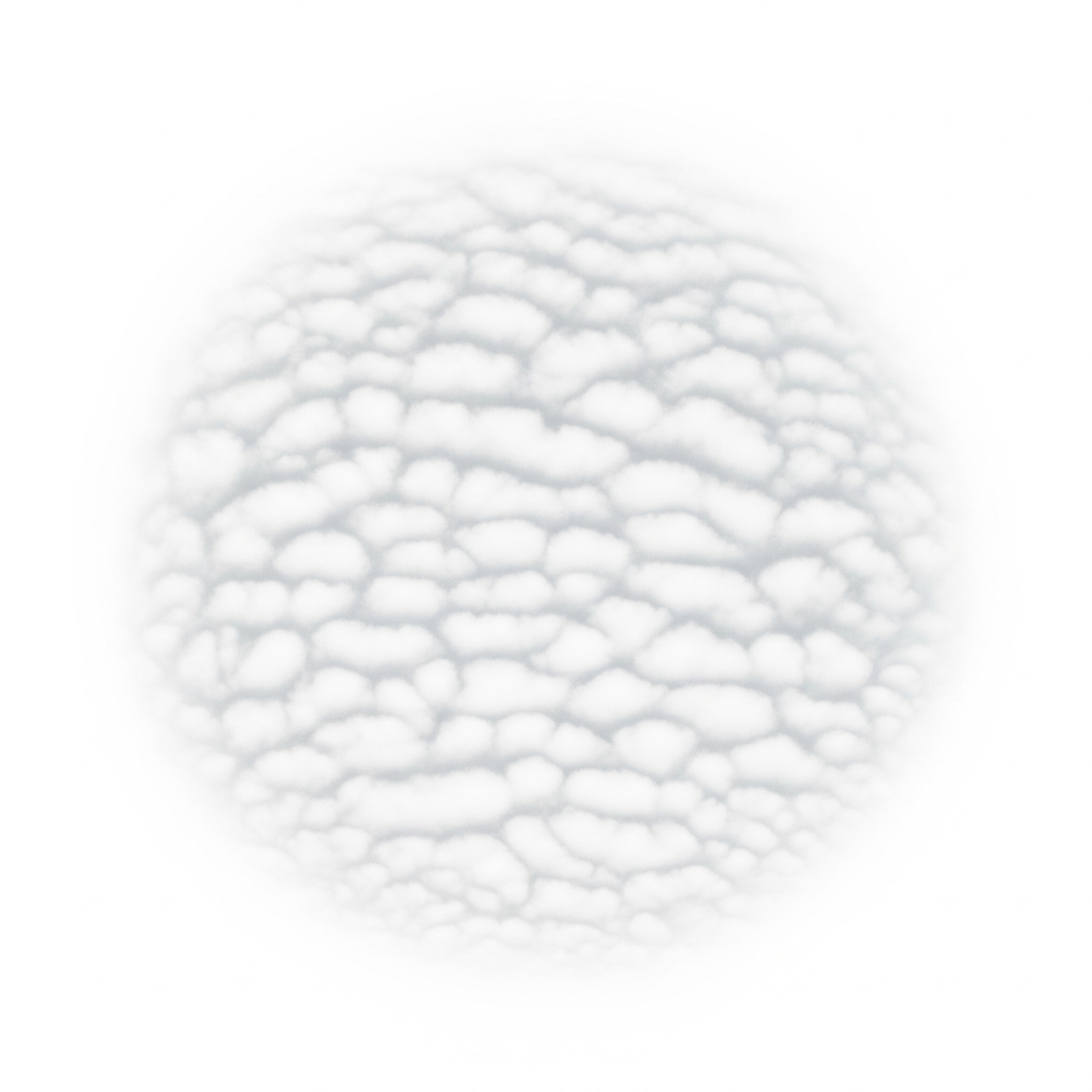
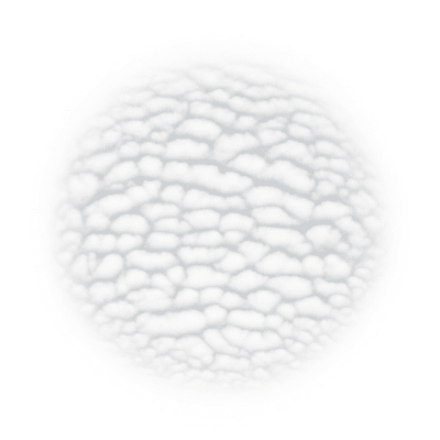
Cirrocumulus is a high-level cloud genus composed of small, white, patchy cloudlets arranged in delicate, rippled patterns often described as a "mackerel sky."
Cirrocumulus is a high-level cloud genus composed of small, white, patchy cloudlets arranged in delicate, rippled patterns often described as a "mackerel sky."
The name cirrocumulus combines Latin roots meaning "curl" and "heap," reflecting its tufted, piled appearance at high altitudes. First classified by Luke Howard in the early 19th century, cirrocumulus has since been a foundational genus in meteorological cloud taxonomy.
Cirrocumulus belongs to the high-level cloud family and is abbreviated as "Cc" in the WMO system. It is recognized as a distinct genus characterized by its small cloudlets and high altitude, with varieties such as undulatus describing wave-like patterns.
These clouds appear as thin, white patches or layers without shading, made up of very small cloudlets often arranged in regular ripples, grains, or fish-scale textures. The delicate, grainy formations are typically smaller than a finger held at arm’s length, creating the classic "mackerel sky" effect.
Cirrocumulus clouds serve as indicators of upper-tropospheric instability and often precede weather changes like warm fronts. While they do not produce precipitation that reaches the ground, their presence is noted in meteorology and aviation for signaling shifts in atmospheric conditions.
Bring this kind into your world � illustrated posters, mugs, and shirts.
Archival print, museum-grade paper
Buy Poster
Stoneware mug, dishwasher safe
Buy Mug
Soft cotton tee, unisex sizes
Buy ShirtKnown colloquially as "mackerel sky" for their fish-scale pattern, cirrocumulus clouds have long featured in folklore as harbingers of changing weather. Their distinctive appearance makes them a popular subject in cloud identification guides and weather lore.
Cirrocumulus forms through the gradual transformation of cirrus or cirrostratus clouds or by convection at high altitudes where temperatures favor ice crystal formation. These processes occur in the upper troposphere, often linked to atmospheric instability or the approach of frontal systems, leading to the characteristic small, clustered cloudlets.


Typically found between 4,000 and 14,000 meters above ground level, cirrocumulus clouds are a high-level genus. They occur globally but are most frequent in tropical and temperate regions, becoming less common in polar areas due to lower moisture availability in the upper troposphere.
Cirrocumulus clouds pose no direct hazards to aviation or ground safety, as they do not produce significant precipitation or turbulence. However, their presence can indicate upper-level atmospheric instability or approaching frontal systems, which may affect flight planning and weather forecasting.
Observation of cirrocumulus is primarily visual, relying on their distinctive small, white cloudlets and patterns. Due to their high altitude, ceilometers have limited effectiveness, so satellite remote sensing using visible and infrared imagery, as well as lidar, are key tools for studying these clouds.
In satellite imagery, cirrocumulus appears as thin, high-level textured clouds with bright white patterns in visible bands. Infrared sensors detect their cold brightness temperatures, confirming their high altitude. Their fine, rippled texture distinguishes them from other cloud types in satellite observations.