Altostratus
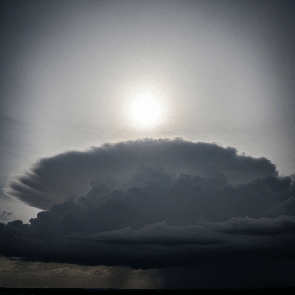
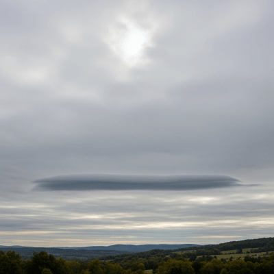
Altostratus opacus is a mid-level cloud variety characterized by a dense, gray sheet that completely obscures the sun or moon, signaling widespread stable atmospheric conditions often preceding frontal weather.
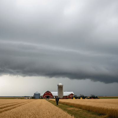
Altostratus opacus is a mid-level cloud variety characterized by a dense, gray sheet that completely obscures the sun or moon, signaling widespread stable atmospheric conditions often preceding frontal weather.
The name Altostratus opacus originates from Latin, combining "altus" (high), "stratus" (layer), and "opacus" (opaque). Formalized by the World Meteorological Organization in the International Cloud Atlas, this variety was distinguished for its thick, sun-blocking layer. The genus Altostratus was first described by Luke Howard in the early 19th century, with the opacus variety gaining recognition through mid-20th-century meteorological classification refinements.
Altostratus opacus belongs to the Altostratus genus within the mid-level cloud family. It is classified as a variety distinguished by its opacity, setting it apart from thinner altostratus forms. While the genus Altostratus lacks formally recognized species, the opacus variety is a key morphological subtype defined by its dense, sun-obscuring sheet.
This cloud appears as a widespread, uniform sheet of gray or bluish-gray, thick enough to completely block sunlight or moonlight. It has a diffuse base and lacks distinct features, presenting a smooth, featureless expanse that often covers large portions of the sky.
Altostratus opacus commonly forms ahead of warm or occluded fronts as moist air masses gradually lift and thicken. It serves as a meteorological indicator of impending weather changes, often preceding light precipitation. While generally benign, it signals deteriorating weather conditions and is closely monitored in aviation and weather forecasting.
Bring this kind into your world � illustrated posters, mugs, and shirts.

Archival print, museum-grade paper
Buy Poster
Stoneware mug, dishwasher safe
Buy Mug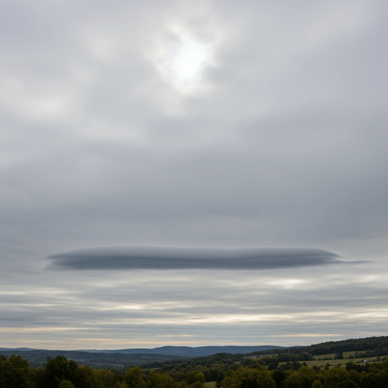
Soft cotton tee, unisex sizes
Buy ShirtThough less dramatic than towering or storm clouds, altostratus opacus holds a subtle place in weather lore as a harbinger of rain. It is frequently referenced in educational contexts as a textbook example of mid-level, opaque cloud layers, though it rarely features prominently in art or mythology.
Altostratus opacus forms through the gradual lifting and thickening of large-scale moist air masses, often associated with warm or occluded frontal systems. As the air rises steadily, condensation increases, thickening the cloud layer until it becomes dense enough to block sunlight or moonlight. This process typically involves widespread stratiform cloud development rather than convective activity.

Altostratus opacus belongs to the mid-level cloud family, with bases typically ranging from 2,000 to 7,000 meters above ground level. It is commonly found in temperate regions worldwide, especially ahead of frontal systems, but can occur globally wherever stable, moist mid-level air masses prevail.
Generally, altostratus opacus poses minimal hazards. It can reduce visibility and obscure celestial navigation by blocking the sun and moon. For aviation, it signals approaching precipitation and deteriorating weather but rarely causes significant turbulence or icing. Awareness of its presence aids in weather forecasting and flight planning.
Altostratus opacus is commonly identified through visual observation by trained meteorologists, noting its uniform, opaque sheet-like appearance. Ceilometers measure its base height, while satellite remote sensing in visible and infrared bands detects its broad mid-level cloud deck. These combined methods provide comprehensive monitoring of its extent and development.
In satellite imagery, altostratus opacus appears as a broad, uniform mid-level cloud deck with moderate infrared brightness temperatures. It lacks the cold, high cloud tops typical of cirrus or cumulonimbus clouds, presenting instead a relatively warm, consistent signature that reflects its mid-tropospheric altitude and dense, sheet-like morphology.