
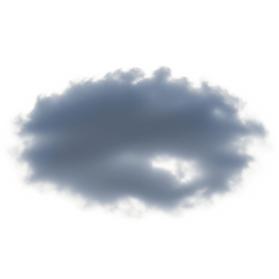
Altostratus
Altostratus is a mid-level cloud genus characterized by a uniform, gray or blue-gray sheet that often covers the entire sky, producing a diffuse appearance and sometimes obscuring the sun.
Altostratus is a mid-level cloud genus characterized by a uniform, gray or blue-gray sheet that often covers the entire sky, producing a diffuse appearance and sometimes obscuring the sun.
The name "Altostratus" combines the Latin words "altus" meaning "high" and "stratus" meaning "spread out" or "layer." This cloud genus was first formalized in the 19th century by Luke Howard, a pioneer of cloud classification, and later standardized by the World Meteorological Organization in the International Cloud Atlas. It has since remained a fundamental category within meteorological cloud taxonomy.
Altostratus belongs to the mid-level family of clouds within the WMO classification system. It is a distinct genus separate from related mid-level clouds such as altocumulus and from low-level stratus or thick precipitating nimbostratus. Its classification is based on its uniform sheet-like morphology and altitude range, typically between 2,000 and 7,000 meters above ground.
Altostratus clouds form a smooth, featureless sheet or layer that is gray or blue-gray in color. They often cover large portions or the entire sky, creating a diffuse and muted light environment. The sun, if visible, appears as a watery disk or may be completely obscured. While generally uniform, subtle banding or gentle undulations can sometimes be seen.
Altostratus clouds commonly signal the approach of warm or occluded frontal systems. They form through the large-scale ascent of moist air and often thicken and lower over several hours. While they rarely produce significant precipitation themselves, they frequently precede light rain or drizzle and the development of heavier precipitating clouds like nimbostratus. In aviation and weather forecasting, their presence indicates potential reductions in visibility and signals changing weather conditions.
Bring this kind into your world � illustrated posters, mugs, and shirts.

Archival print, museum-grade paper
Buy Poster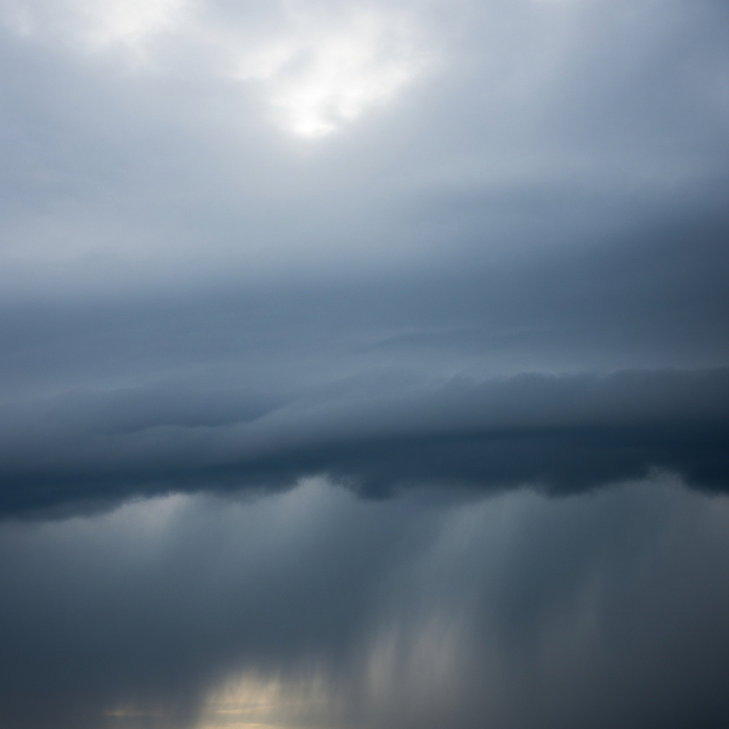
Stoneware mug, dishwasher safe
Buy Mug
Soft cotton tee, unisex sizes
Buy ShirtThough less dramatic than towering or storm clouds, altostratus holds a subtle place in weather lore as a harbinger of impending rain. It appears in educational materials as a classic example of mid-level stratiform cloudiness and occasionally features in landscape art and photography for its soft, diffuse sky coverage that sets a moody or overcast atmosphere.
Altostratus clouds form primarily through the large-scale ascent of moist air masses, often associated with the gradual lifting ahead of warm or occluded fronts. This ascent cools the air, causing water vapor to condense into a widespread, stratiform cloud layer. Altostratus may develop from the thickening of cirrostratus clouds or the lifting and spreading of nimbostratus layers, representing a deepening and broadening of stratiform cloud decks as frontal systems advance.


Altostratus clouds are classified as mid-level clouds, generally forming between 2,000 and 7,000 meters above ground level, with tops sometimes reaching up to 8,000 meters. Their altitude range varies by latitude and climate, tending to be lower in polar regions and slightly higher in tropical areas. They occur globally but are most frequent in mid-latitude regions, especially in association with frontal weather systems.
Altostratus clouds pose minimal direct hazards but can reduce visibility and solar radiation due to their extensive coverage. They rarely cause turbulence or icing, making them generally benign for aviation. However, their presence often signals approaching frontal systems that may bring precipitation and more hazardous weather conditions, warranting attention in weather forecasting and flight planning.
Altostratus clouds are commonly observed visually by meteorologists and weather enthusiasts due to their distinctive uniform sheet. Instrumentally, ceilometers and radiosondes help determine their altitude and thickness. Satellite remote sensing, using visible and infrared imagery, identifies altostratus by their extensive, uniform mid-level cloud decks and intermediate brightness temperatures, aiding in global monitoring and weather prediction.
In satellite imagery, altostratus clouds appear as broad, uniform mid-level layers with a grayish tone in visible bands. Infrared sensors detect them by intermediate brightness temperatures, distinguishing them from colder high clouds and warmer low clouds. Their extensive coverage and relatively smooth texture make them identifiable features in both geostationary and polar-orbiting satellite data.