
Altocumulus
Altocumulus lenticularis is a distinctive mid-level cloud species characterized by smooth, lens-shaped formations that often resemble flying saucers, typically forming stationary layers near mountainous terrain.
Altocumulus lenticularis is a distinctive mid-level cloud species characterized by smooth, lens-shaped formations that often resemble flying saucers, typically forming stationary layers near mountainous terrain.
The name "Altocumulus lenticularis" originates from Latin, combining "altus" meaning high, "cumulus" meaning heap, and "lenticularis" meaning lens-shaped. This species was formally recognized in the 19th century as cloud classification systems evolved, with its distinct morphology codified in the World Meteorological Organization's International Cloud Atlas.
Altocumulus lenticularis belongs to the Altocumulus genus, a mid-level cloud family. It is classified as a species within this genus, distinguished by its unique lens-like shape. The species is part of the mid-level altitude family and is abbreviated as "Ac len" in meteorological notation.
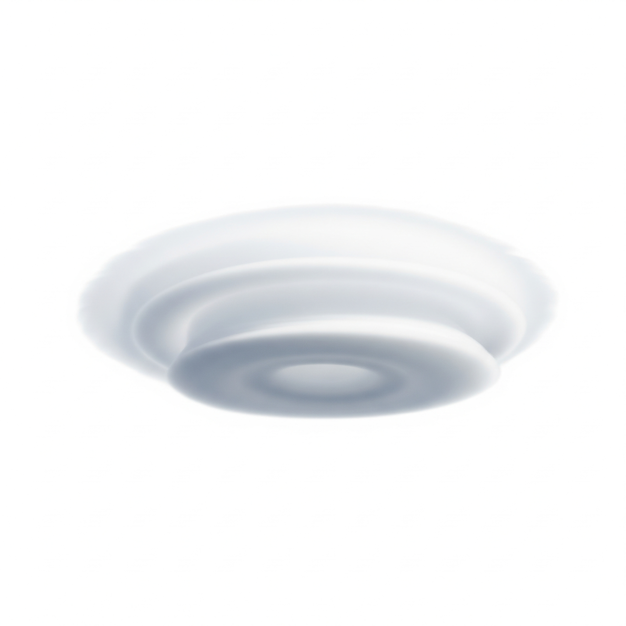
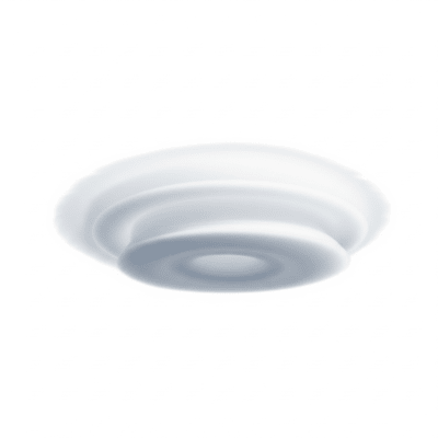
These clouds present as smooth, sharply defined, lens- or almond-shaped formations, often isolated or stacked in layered groups. Their colors range from white to light gray, and they sometimes display iridescent or mother-of-pearl hues. Their stationary, layered structure and saucer-like shape make them visually striking.
Altocumulus lenticularis clouds form in stable atmospheric conditions where moist air flows over mountains, creating standing waves. They remain stationary relative to the ground, persisting as long as the wave and moisture conditions hold. Pilots use these clouds as indicators of strong turbulence and atmospheric wave activity, especially relevant for glider and light aircraft navigation.
Bring this kind into your world � illustrated posters, mugs, and shirts.
Archival print, museum-grade paper
Buy Poster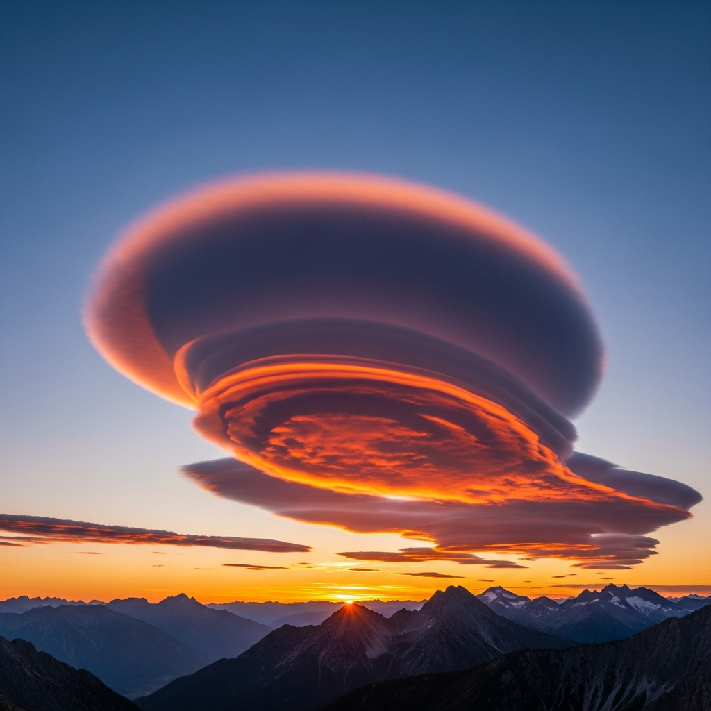
Stoneware mug, dishwasher safe
Buy Mug
Soft cotton tee, unisex sizes
Buy ShirtDue to their smooth, saucer-like appearance, lenticular clouds have often been mistaken for UFOs, embedding them in folklore and popular culture as mysterious or otherworldly phenomena. They are also favored subjects for photographers and cloud enthusiasts for their dramatic and unusual shapes.
Altocumulus lenticularis clouds form when stable, moist air is forced upward by mountainous terrain, creating atmospheric standing waves on the lee side. At the wave crests, air cools adiabatically, reaching saturation and condensing into cloud droplets. This process results in smooth, lens-shaped clouds that remain fixed in place as long as the wave persists.


These clouds typically form at mid-level altitudes between 2,000 and 7,000 meters above ground. Their occurrence is most common near major mountain ranges such as the Rockies, Andes, Alps, and Himalayas, but they can also appear over smaller hills or regions with strong wind shear and atmospheric waves.
While Altocumulus lenticularis clouds rarely produce precipitation, they are associated with strong turbulence caused by atmospheric waves, posing significant hazards to aviation, particularly for gliders and light aircraft. Pilots must exercise caution when flying near these clouds. Icing is generally not a concern unless supercooled droplets are present.
These clouds are primarily identified through visual observation by their distinctive shape and stationary behavior. Satellite imagery in visible and infrared bands reveals their smooth, elliptical forms over mountainous terrain. Additional measurement methods include ceilometers and aircraft observations, which help confirm their altitude and structure.
In satellite imagery, Altocumulus lenticularis appear as smooth, elliptical mid-level clouds with a layered structure. Their stationary position over orographic features makes them identifiable in both visible and infrared images, often contrasting with surrounding cloud patterns due to their sharp outlines and stable placement.